
Length 15 km | Sources Gravois Creek, Deer Creek | |
 | ||
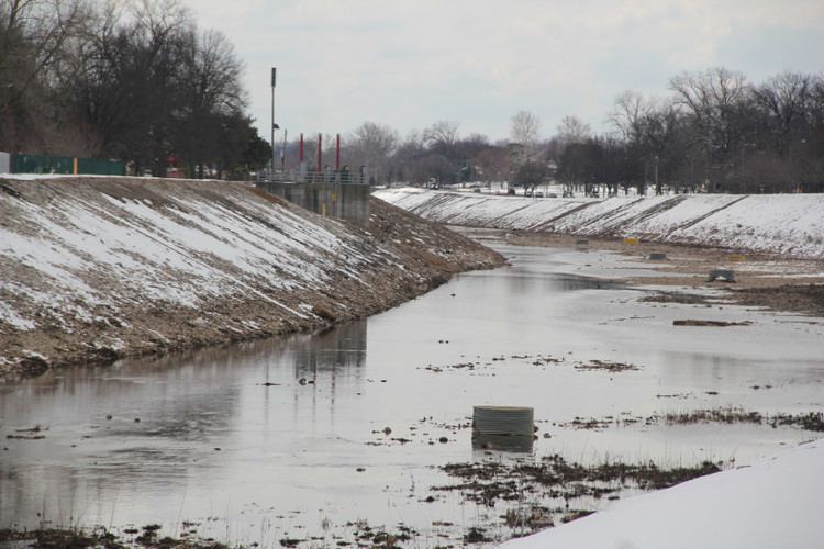
St louis flooding 2013 river des peres at lemay park
The River des Peres (French: rivière des Pères) ( /diˈpɛər/) is a 9.3-mile (15.0 km) metropolitan river in St. Louis, Missouri. It is the backbone of sanitary and storm water systems in the city of St. Louis and portions of St. Louis County. Its largest tributaries are Deer Creek and Gravois Creek.
Contents
- St louis flooding 2013 river des peres at lemay park
- The river des peres song 2000 version by the colin sphinctor band
- Location
- History
- Current condition
- References
The river des peres song 2000 version by the colin sphinctor band
Location
History
The name, meaning "River of the Fathers," is of French origin, and was given by locals because a mission of Jesuit Catholic priests resided near the confluence of the river with the Mississippi. The priests were established in 1700 and soon moved south in 1703 to Kaskaskia, probably as a result of conflict with American Indians, roughly 60 years before the founding of St. Louis. There is also a city of the same name, located in west St. Louis County.
In preparation for the 1904 World's Fair, the portion of the river that flows through Forest Park was disguised by temporary wooden channels. Shortly thereafter, that portion was placed entirely underground.
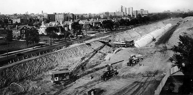
The River des Peres has functioned as a combined sanitary sewer and storm drain for over 100 years. In the early 1930s, following high demand for preventive safety measures brought on by a series of fatal floods, the river was channelized, with its upper sections redirected underground in large sewage pipes. Design and construction was led by the United States Army Corps of Engineers, Horner & Shifrin, and the Works Progress Administration. The lower banks of the river, most notably along Willmore Park and the River des Peres Greenway, were lined with quarried limestone, producing a distinct landmark for decades to come. "Safety First / W.P.A." is written in mosaics along the eastern banks.
In 1988, the American Society of Civil Engineers added the River des Peres Sewage & Drainage Works to its list of Historic Civil Engineering Landmarks for the calculations involved, the large-scale trench dewatering methods and the soil stabilization procedures.
Some of the worst flooding of the Great Flood of 1993 occurred near where the river flows into the Mississippi River.
Current condition
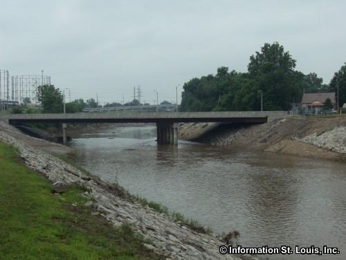
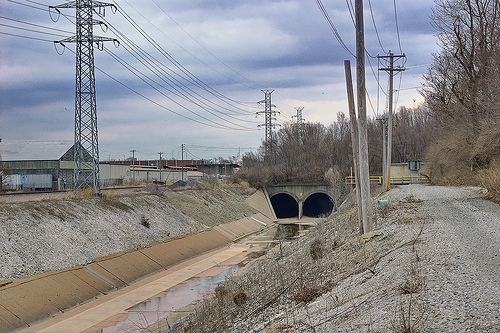
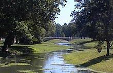
The River des Peres enters underground culverts from north of Forest Park, emerges south of the park into concrete channels, and debouches into the Mississippi.
An artificial water flow that emulates the river was created through Forest Park, using the city's water supply. This is often mistakenly considered a re-creation of the original River des Peres. However, the water flow here is deliberately produced, not derived from rainfall, or runoff, etc., and cannot be considered a re-creation of the river. The resemblance of the water feature to a picturesque river scene was an attempt to maintain continuity with the appearance of the rest of Forest Park's landscape, which for the most part, excepting significantly recent additions to the Art Museum (by Peter Walker), upholds the original, early twentieth century pastoral design intentions of George Kessler. The design received notable objections due to its generous use of resources to present the appearance of a healthy river.
The river is currently part of the combined sewer and stormwater system of its watershed, which includes large portions of St. Louis City and County. It is administered by the St. Louis Metropolitan Sewer District (MSD), which concerns itself primarily with sanitary and storm water management; and the United States Army Corps of Engineers, which handles general flood and safety concerns. MSD is working to separate the sanitary and stormwater systems, which will enable more recreational use of the river.
The planned River des Peres Greenway Project created an 11-mile (18 km) linear park along the river from Forest Park to the Mississippi. It is part of a larger system of works as part of the River Ring project by The Great Rivers Greenway District.