
Basin size 213 km (82 sq mi) Discharge 5 m³/s Country United Kingdom | Length 50 km Source elevation 400 m | |
 | ||
River mouth Lossiemouth into Moray Firth | ||
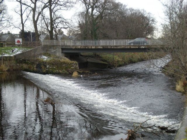
The River Lossie (Scottish Gaelic: Uisge Losaidh) is a river in north east Scotland. Ptolemy (c.90 – c.168), the Greco-Roman geographer, named it as ost. Loxa Fl. The river originates in the hills above Dallas, in Moray, and has its source 400 metres above sea-level. It enters the sea at Lossiemouth on the Moray Firth. By the time it moves through Elgin its rate of flow, in normal conditions, is best described as very slow. The gradient between Elgin and Lossiemouth is almost imperceptible with a total fall of less than 5 metres.
Contents
Map of River Lossie, United Kingdom
References
River Lossie Wikipedia(Text) CC BY-SA