
Source elevation 39 m Bridges Leven Viaducts | Length 13 km | |
 | ||
The River Leven (pron. /ˈlɛvən/ LEV-ən) is a short river in the county of Cumbria, falling within the historic boundaries of Lancashire. It drains Windermere from its southernmost point and flows for approximately 8 miles (13 km) into the northern reaches of Morecambe Bay. The river and its estuary are the boundary between the Cartmel Peninsula and Furness Peninsula in the area once known referred to as Lancashire north of the sands. The upriver limit of tidal flow is close to the village of Haverthwaite. Also at this point is to be found Low Wood Bridge which, until the coming of the railways, was the first bridging point across the river. The Leven is navigable upstream as far as Low Wood, and downstream from Windermere to Newby Bridge.
Map of River Leven, United Kingdom
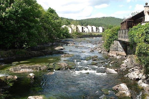
Apart from Newby Bridge and Haverthwaite, the only other settlements on the Leven are the villages of Backbarrow and Greenodd. The river's steep fall around Backbarrow allowed industrial use of the river for the ultramarine mill and also a small hydroelectric generator at Backbarrow ironworks.
The River Leven has one significant tributary, Rusland Pool, which drains a substantial part of Grizedale Forest and the Rusland Valley into the upper tidal section of the river. The Leven is a noted salmon river. At spawning time the fish can be seen jumping up the waterfalls at Backbarrow. The river is popular with kayakers due to the continuous grade III+ rapids found between Newby Bridge and Haverthwaite and a relatively stable water level sustained by Windermere.