Isolation 7.28 mi (11.72 km) Elevation 4,207 m | Easiest route hike Prominence 346 m | |
 | ||
Topo map USGS 7.5' topographic mapRito Alto Peak, Colorado Similar Tijeras Peak, Columbia Point, Mount Lindsey, Broken Hand Peak, Red Mountain | ||
Rito Alto Peak, elevation 13,803 ft (4,207 m), is a summit in the Sangre de Cristo Range of south central Colorado. The peak is 11 mi (18 km) west of Westcliffe in the Rio Grande and San Isabel national forests.
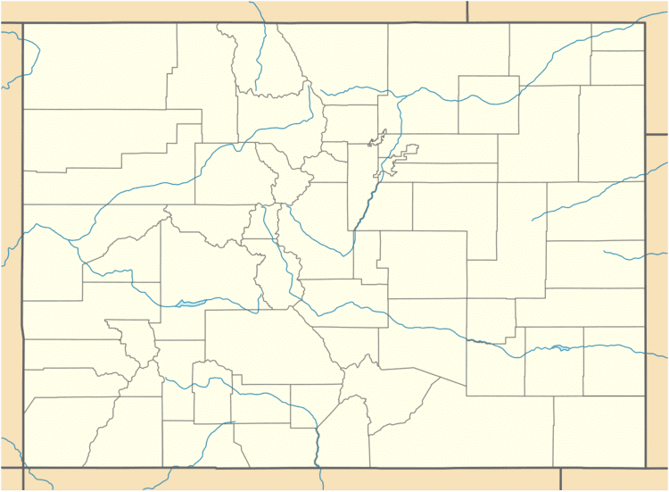
Map of Rito Alto Peak, Colorado 81143, USA
References
Rito Alto Peak Wikipedia(Text) CC BY-SA
