
Traversed by Trail | Elevation 2,189 m | |
 | ||
Similar | ||
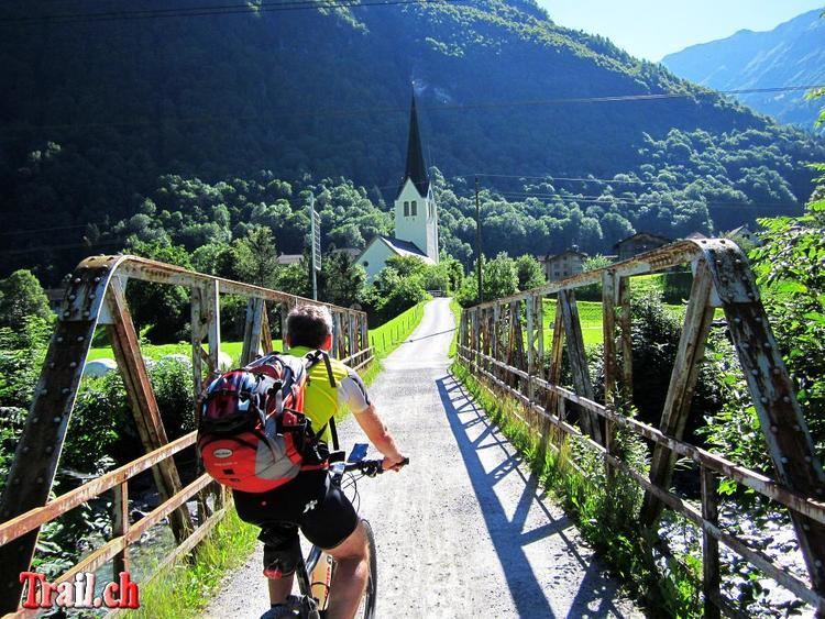
The Riseten Pass (German: Risetenpass) is a mountain pass of the Glarus Alps, located on the border between the Swiss cantons of St. Gallen and Glarus, at an elevation of 2,189 m (7,182 ft). It crosses the col between the peaks of the Wissgandstöckli and Foostock.
Map of Risetenpass, 8766 Glarus S%C3%BCd, Switzerland
The pass is traversed by a trail, which connects the village of Weisstannen, in the canton of St. Gallen at an elevation of 1,004 m (3,294 ft), with the valley of the Krauch stream and thence with the village of Matt, in the canton of Glarus at an elevation of 831 m (2,726 ft).
References
Riseten Pass Wikipedia(Text) CC BY-SA