
Location Antarctica | Elevation 2,704 m | |
 | ||
Similar Gjelsvik Mountains, Jutulsessen, Mühlig‑Hofmann Mountains | ||
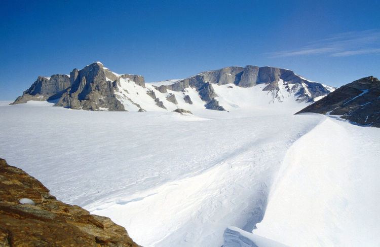
Risemedet Mountain is a large mountain that marks the eastern end of the Gjelsvik Mountains in Queen Maud Land. It was mapped by Norwegian cartographers from surveys and air photos by the Sixth Norwegian Antarctic Expedition (1956–60) and named Risemedet (the giant landmark).
Map of Risemedet Mountain, Antarctica
References
Risemedet Mountain Wikipedia(Text) CC BY-SA