
Official name Ririe Dam Impounds Willow Creek Length 326 m Surface area 6.1 km² Impound Willow Creek | Opening date February 1978 Width (base) 15 meters Height 77 m Inflow source Willow Creek Construction began January 1970 | |
 | ||
Operator(s) Bonneville County Parks & Recreation Department | ||
Crawfish diving at ririe reservoir
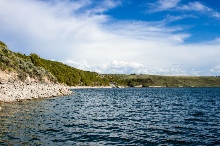
The Ririe Reservoir is a reservoir located near Ririe, Idaho. It allows for irrigation, flood control, and provides recreational opportunities.
Contents
- Crawfish diving at ririe reservoir
- Map of Ririe Reservoir Idaho USA
- EcologyEdit
- Possibility of failureEdit
- References
Map of Ririe Reservoir, Idaho, USA
In 1972 the Ririe Dam, built on Willow Creek by the United States Army Corps of Engineers, was the site of the first practical application of steel fibrous shotcrete, which was used to build a tunnel adit. The dam's total capacity is more than 100,000 acre-feet of water. On October 14, 1976, the Corps of Engineers formally transferred control of the dam to the United States Bureau of Reclamation.
EcologyEdit
The area surrounding the dam is hilly shrub-steppe and features the sagebrush and bunch grass typical of the area. The reservoir itself contains rainbow trout, kokanee salmon, cutthroat trout smallmouth bass and yellow perch.
Possibility of failureEdit
If the Ririe Dam failed catastrophically, either from a natural disaster or a human initiated event, it would reach the first population center, the City of Ucon, in 108 minutes; it would reach the City of Idaho Falls, the major population center of Bonneville County, in 187 minutes. The Dam is not manned 24 hours a day and therefore it is anticipated that there would be at least a fifteen (15) minute lag between event initiation and the commencement of the notification to residents.