
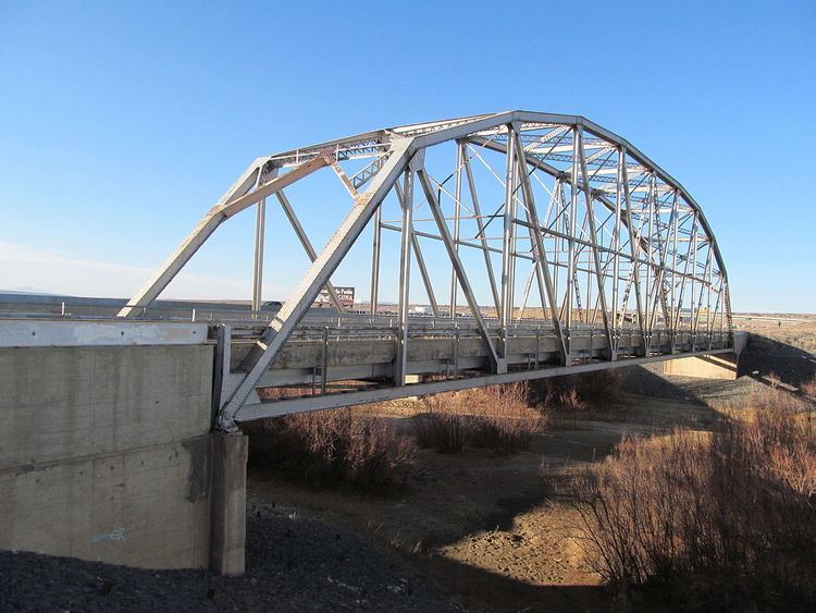
- location Nacimiento Mountains - elevation 4,711 ft (1,436 m) - min 0 cu ft/s (0.0 m/s) Basin area 19,036 km² Source Nacimiento Mountains Country United States of America | - elevation 10,500 ft (3,200 m) - average 39.5 cu ft/s (1.1 m/s) Length 370 km Discharge 1.119 m³/s Mouth Rio Grande Bridges Rio Puerco Bridge | |
 | ||
- max 35,000 cu ft/s (991.1 m/s) | ||
The Rio Puerco is a tributary of the Rio Grande in the U.S. state of New Mexico. From its source on the west side of the Nacimiento Mountains, it flows about 230 miles (370 km), generally south to join the Rio Grande about 20 miles (32 km) south of Belen and about 50 miles (80 km) south of Albuquerque. Its drainage basin is about 7,350 square miles (19,000 km2) large, of which probably about 1,130 square miles (2,900 km2) are noncontributing.
Contents
Map of Rio Puerco, New Mexico, USA
The Rio Puerco is ephemeral, with no streamflow for part of the year. Its discharge averages 39.5 cubic feet per second (1.12 m3/s). The maximum officially recorded discharge was 5,980 cubic feet per second (169 m3/s), in 1941. The greatest flood since about 1880 occurred on September 23, 1929, with an estimated discharge of 35,000 cubic feet per second (990 m3/s). Another flood, on August 12, 1929, reached an estimated 30,600 cubic feet per second (870 m3/s).
NameEdit
Although Rio Puerco means River of Pigs in Spanish, this usage in the SW United States is better translated as Muddy River.
CourseEdit
The Rio Puerco arises in the San Pedro Peaks area of the Nacimiento Mountains, in the San Pedro Parks Wilderness area of the Santa Fe National Forest. It flows generally south and southwest, leaving the mountains and national forest near the village of Cuba. From there the river flows generally south. It flows along the west side of the Jemez Indian Reservation. Arroyo Chico joins from the west, between Mesa San Luis and Mesa Chivato. The Rio Puerco continues south, passing west of Mesa Prieta, then through the Laguna Indian Reservation and the Tohajiilee Indian Reservation. Near the Bernalillo–Valencia county line and the Isleta Indian Reservation the river is joined by the Rio San Jose, which flows from the west near Grants through the Laguna Reservation. The Rio Puerco continues south through the Albuquerque Basin to the Rio Grande about 20 miles (32 km) south of Belen and about 50 miles (80 km) south of Albuquerque.
HistoryEdit
The Rio Puerco Valley is notable for once hosting a significant numbers of Anasazi (Basketmaker II) people, many of them fleeing the collapse of the Chacoan civilization.
In the 1860s the US Army moved strongly against Native American raiding west of the Rio Grande. By the late 1860s the Navajo were no longer a chronic threat and the Apache had been pushed back into the high mountains. The Hispanos living along the Rio Grande were able to move west with some security for the first time. Hispano colonists from Albuquerque and Bernalillo quickly occupied every irrigable patch of land along the Rio Puerco. By the middle of the 20th century decades of overgrazing and flash flooding had rendered the Rio Puerco country virtually uninhabitable and it was abandoned.
Sediment and erosionEdit
As it carries high levels of sediment, the Rio Puerco is a major source of suspended particulate matter. Overgrazing has made the Rio Puerco Basin of central New Mexico one of the most eroded river basins of the western United States and has increased the high sediment content of the river. The USGS collects suspended-sediment samples at its stream gage three miles (5 km) above the river's mouth. A maximum daily mean of sediment concentration of 41,700 mg/L was recorded on July 25, 2008. The maximum recorded daily sediment load was 2,240,000 tons, recorded on August 7, 1957.