
Nearest city Liverpool Phone +44 151 233 3000 | Operated by Sefton Council | |
 | ||
Location Between Crosby and Litherland Address Bootle, Liverpool L21 0HN, UK Hours Open today · 9AM–8:30PMThursday9AM–8:30PMFriday9AM–8:30PMSaturday9AM–8:30PMSunday9AM–8:30PMMonday9AM–8:30PMTuesday9AM–8:30PMWednesday9AM–8:30PMSuggest an edit Similar Port of Liverpool, Crosby Coastal Park, Seaforth & Litherland railway st, Crosby Beach, Walton Hall Park | ||
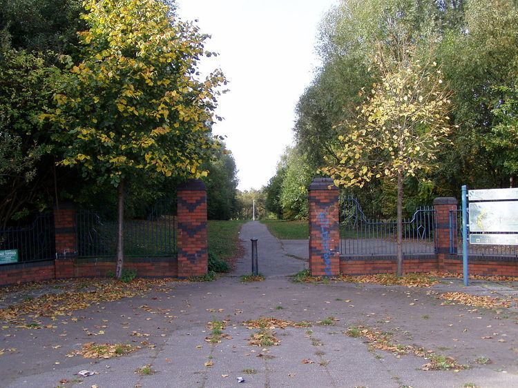
Rimrose valley country park liverpool litherland seaforth crosby phantom pro drone
Rimrose Valley is a 3.5 km (2.2 mi) country park and valley which forms a border between Crosby and Litherland in the borough of Sefton, Merseyside, England, with the Leeds and Liverpool Canal on its eastern edge.
Contents
- Rimrose valley country park liverpool litherland seaforth crosby phantom pro drone
- Formation
- Layout
- Unsociable activities
- Highway proposals
- Etymology
- References
Because the brook that runs through the park regularly floods, it remained clear of the housing developments that grew up on either side. However, the central area was used as a tip until 1978 and restoration began in 1993.
Rimrose Valley is now part of the Mersey Forest and the most southerly extent of the West Lancashire Coastal Plain. The south of the valley contains the Brookvale Nature Reserve which is the only one in Sefton that is not on the coast and is, along with Fulwood Way in the north, a Site of Special Local Biological Interest.
Formation
The formation of the valley in its current state can be dated back over the last 1.6 million years, during which time sand, peat and clay deposits have built up over parts of the valley, which itself has formed as a result of sandstone strata erosion. The outer edges of the valley were put to use as farmland, particularly on higher ground where flooding was less likely, though throughout the 20th century much of the farm land has been restricted to the northern most regions of the valley.
Layout
Because of the size of the park, the area has been divided into five colour-coded zones that allow people to narrow down their location if they need to contact the emergency services. The north-south walking distance is approximately 6 km (3.7 mi), with a grade of moderate and an estimated walking time of 90 minutes.
Unsociable activities
Following concern over young people riding scrambler bikes in the park, resulting in at least one serious accident, the police launched a crackdown in 2015.
Highway proposals
Plans were announced in February 2016 which proposed a new £200m road could be built through Rimrose Valley to link directly into the A5758 road in an effort to reduce the heavy congestion on the A5036 road; Sefton Council rejected the proposal in March 2017, citing the desire to instead build a tunnel to overcome the congestion concerns.
Etymology
Rimrose is a Hybrid word from Old English hrim (modern "rim"), 'border' and Celtic ros meaning "moor" or "heath".