
Elevation 1,698 m Mountain range Glarus Alps | Canton Schwyz Prominence 508 m | |
 | ||
Similar Rigi, Urmiberg, Scheidegg, Niederbauen‑Chulm, Kleiner Mythen | ||
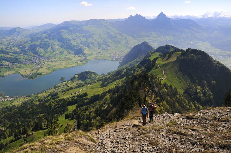
The Rigi Hochflue is a mountain summit west of the mountain range Urmiberg, in itself part of the Rigi massif, overlooking the Gersauerbecken of Lake Lucerne in Central Switzerland on its mountainside to the south, and Lake Lauerz on its north side. It has an elevation of 1,698 metres (5,571 ft) above sea level and is located in the canton of Schwyz.
Map of Rigi Hochflue, 6442 Lauerz, Switzerland
References
Rigi Hochflue Wikipedia(Text) CC BY-SA