
 | ||
People also search for Paonia Dam, Harvey Gap State Park, Rifle Falls State Park | ||
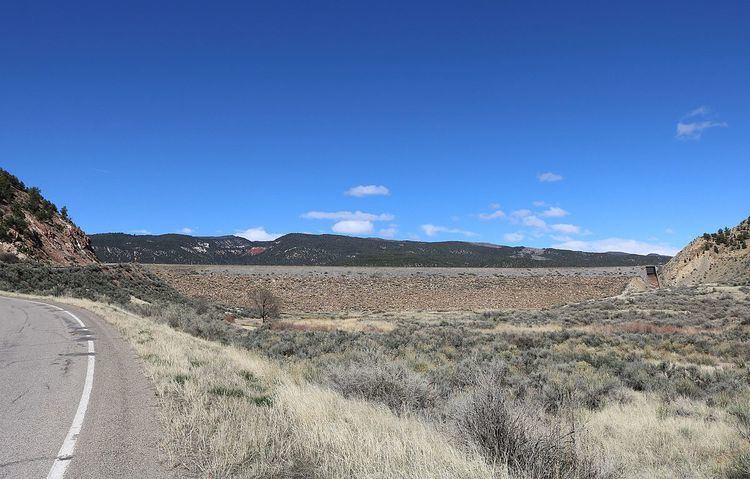
Rifle Gap Dam (National ID # CO01692) is a dam in Garfield County, Colorado, about five and a half miles north of Rifle.
Map of Rifle Gap Dam, Rifle, CO 81650, USA
The earthen dam was constructed between 1964 and 1967 by the United States Bureau of Reclamation, with a height of 157 feet and 1450 feet long at its crest. It impounds East Rifle Creek and West Rifle Creek about 400 feet upstream from their previous point of confluence. The dam was built for irrigation water storage, is owned by the Bureau, and is operated by the local Silt Water Conservancy District.
The reservoir it creates, Rifle Gap Reservoir, has a water surface of 359 acres and a maximum capacity of 12,168 acre-feet. Recreation includes scuba diving in its clear water, fishing (for rainbow and German brown trout, walleye, perch, and smallmouth and largemouth bass, etc.), wildlife watching, boating, year-round camping, and hiking. The area also hosts Rifle Gap State Park.