
 | ||
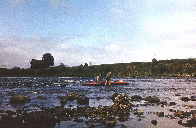
A riffle is a shallow landform in a flowing channel, and it has specific topographic, sedimentary, and hydraulic indicators. These are almost always assessed at a very low discharge compared to the flow that fills the channel (approximately 10-20%), and as a result the water moving over a riffle appears shallow and fast, with a wavy, disturbed water surface. The water's surface over a riffle at low flow also has a much steeper slope than that over other in-channel landforms. Channel sections with a mean water surface slope of roughly 0.1 to 0.5% exhibit riffles, though they can occur in steeper or gentler sloping channels with coarser or finer bed materials, respectively. Except in the period after a flood (when fresh material is deposited on a riffle), the sediment on the riverbed in a riffle is usually much coarser than on that in any other in-channel landform.
Contents
Terrestrial valleys normally consist of channels- geometric depressions in the valley floor carved by flowing water- and overbank regions that include floodplains and terraces. Some channels have shapes and sizes that hardly change along the river; these do not have riffles. However, many channels exhibit readily apparent changes in width, bed elevation, and slope. In these cases, scientists realized that the riverbed often tends to rise and fall with distance downstream relative to an average elevation of the river's slope. That led scientists to map the bed elevation down the deepest path in a channel, called the thalweg, to obtian a longitudinal profile. Then, the piecewise linear slope of the river is computed and removed to leave just the rise and fall of the elevation about the channel's trendline. According to the zero-crossing method, riffles are all the locations along the channel whose residual elevation is greater than zero. Because of the prevalence of this method for identifying and mapping riffles, riffles are often thought of as part of a paired sequence, alternating with pools- the lows between the riffles. However, modern topographic maps of rivers with meter-scale resolution reveal that rivers exhibit a diversity of in-channel landforms.
For a long time, scientists have observed that, all other things being equal, riffles tend to be substantially wider than other in-channel landforms, but only recently has there been high enough quality of river maps to confirm that this is true. The physics mechanism that explains why this happens is called flow convergence routing. This mechanism may be used in river engineering to design self-sustainable riffles, given a suitable sediment supply and flow regime. When an in-channel landform is shallow and narrow, instead of shallow and wide, it is called a nozzle.
Riffles are biologically very important, because many aquatic species rely on them in one way or another. Many benthic macroinvertebrates are present in riffles, so fish often locate just downstream of a riffle to wait for these small creatures to drift down to them. That draws fisherman to these natural fish feeding stations as well.
Aquaria
In the fishkeeping world, a "riffle tank" is one specializing in aquatic life that originates in places with powerful currents like riffles. These are usually emulated with very powerful pumps.
Gold mining
The term is also applied to strips of wood, metal or plastic laid across the washing tables during gravity separation of gold in alluvial or placer mining.