
Population 5,560 (2006 census) Postal code 2753 | Postcode(s) 2753 Elevation 19 m Local time Thursday 12:43 PM | |
 | ||
Weather 23°C, Wind S at 8 km/h, 95% Humidity University | ||
Richmond is a town in New South Wales, in the local government area of the City of Hawkesbury. It is located at a latitude of 33° 35' 54" South and a longitude of 150°45' 04" east, 19 metres above sea level on the alluvial Hawkesbury River flats, at the foot of the Blue Mountains. It is about 65 km by road from Sydney.
Contents
Map of Richmond NSW 2753, Australia
History
The Darug people were the native people to the area in 1788. The area was originally explored by British settlers in 1789 and was known by them as 'Richmond Hill'. This name was given by Governor Phillip, in honour of Charles Lennox, the third Duke of Richmond who was Master General of Ordnance in the Pitt administration. The local area was the third area to have European settlement in Australia after Sydney and Parramatta. The first 22 European settlers came to the area in 1794. They came to farm a total of 30 acres (12 ha) in what is now Pitt Town Bottoms. They needed good farming land to help overcome the desperate need for food in the new colony. By 1799 this region was producing about half the grain produced in the colony.
The Battle of Richmond Hill took place in May and June 1795 between the Darug people and the European settlers. It is perhaps the first time that the colonial authorities sent in the troopers and expressly stated their intent to 'destroy' the whole local Aboriginal population of an area.
Around 1811 Macquarie established the five Macquarie Towns in the area: Windsor, Richmond, Castlereagh, Wilberforce and Pitt Town. One of the early settlers, James Blackman, built Bowman Cottage from brick nog, a common construction technique in the colony, using money borrowed from William Cox. The house was constructed between the years 1815 and 1818. James was unable to pay his debts and was forced to sell the property to George Bowman. The building was restored by the NSW Public Works Department and then became a Division of the Australian Foundation for the Disabled, providing employment for the disabled.
During WWII the RAAF operated a top secret operations bunker from somewhere in Richmond. It was either half or completely underground. The location of this bunker is unknown but it has been reported that this bunker was identical to the Bankstown Bunker which is currently buried under a public park in Bankstown. It has also been reported that this bunker could still be intact.
RAAF Base Richmond is a Royal Australian Air Force base at Richmond which was established in 1923. The air base is currently the home to the RAAF's transport squadrons. During the Vietnam War, logistic support and medical evacuations were supplied by the C-130 Hercules aircraft from RAAF Richmond.
Heritage
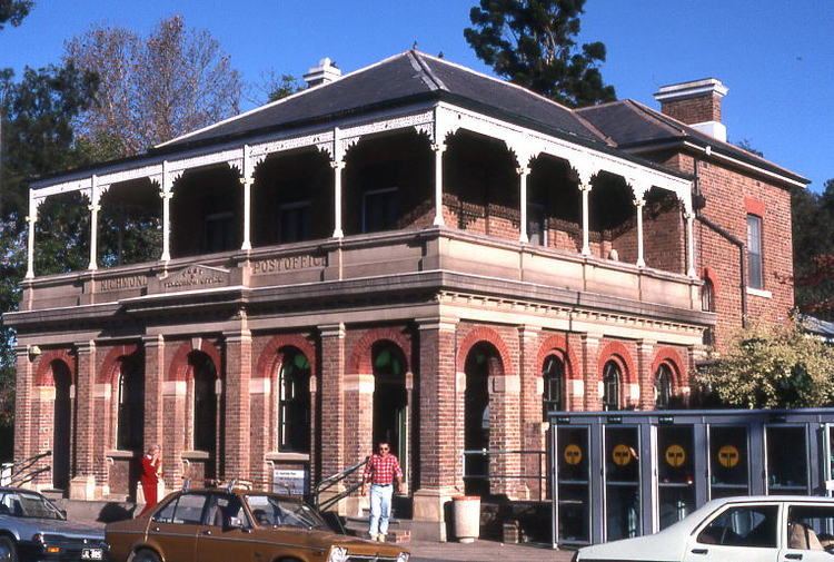
The following buildings are listed on the Register of the National Estate.
Education
Richmond has a range of educational facilities, from primary and high schools to Technical and Further Education (TAFE) and university campuses.
There are three primary schools in Richmond (although there are many more in the Richmond/Hawkesbury area) Richmond Public School, Hobartville Public School and St Monica's Primary School, a comprehensive Catholic school. Richmond High School is the only High School in the town of Richmond, as Colo High School draws from the area west of Richmond and Windsor High School to the east.
Geography
The expansion of the Sydney suburban area has almost reached Richmond and it is now considered to be an outer suburb of Sydney. Bells Line of Road which leads into, over and across the Blue Mountains, finishing in Lithgow, starts in Richmond. Richmond railway station is the terminus of the Richmond branch of the North Shore, Northern & Western Line of the Sydney Trains network. Richmond is surrounded by the 329 km2 Richmond Woodlands Important Bird Area, identified as such by BirdLife International because of the importance of the patches of remnant eucalypt woodland it contains for endangered regent honeyeaters and swift parrots.
Climate
Richmond has hotter summer days than Sydney CBD, with temperatures sometimes reaching 42 °C (108 °F). Winter nights are colder than Sydney and they can drop below 0 °C (32 °F) with severe frost. Richmond has 91.5 days of clear skies annually, in contrast with Sydney CBD's 104 days. On 14 January 1939, Richmond recorded a temperature of 47.8 °C (118.0 °F), the highest in the Sydney region. Its lowest maximum winter temperature was 7.6 °C (45.7 °F), recorded on 6 July 1957.