
Population 2,850 (2011 census) Postal code 2753 | Postcode(s) 2753 Hobartville | |
 | ||
Location 63.5 km (39 mi) from Sydney CBD | ||
Hobartville is a suburb of Richmond, in the state of New South Wales, Australia.
Contents
Map of Hobartville NSW 2753, Australia
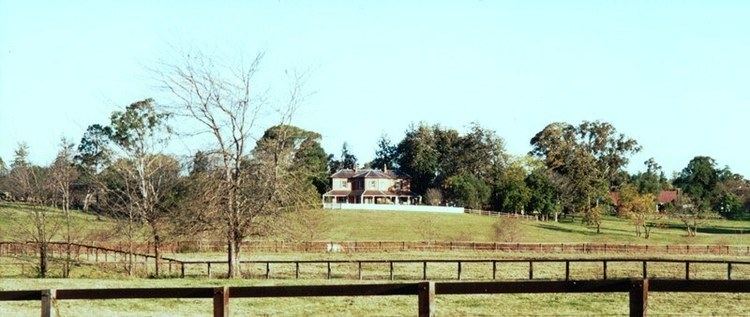
Hobartville was originally a horse stud and was subdivided in the 1960s with the first houses built in 1969. Hobartville Public School was opened in 1971 and the Hobartville Shopping Centre was opened in 1978. The shopping centre is home to Laurence Street Takeaway and is located across the road from Tamplin Field, the local sports ground.
Population
At the 2011 census, there were 2,850 residents in Hobartville. More than 80% of people were born in Australia and the most common ancestries were Australian, English and Irish. The top responses for religious affiliation were Anglican 28.4%, Catholic 21.8% and No Religion 19.1%. Almost all dwellings were detached houses and most of these had 3 or more bedrooms. The median monthly mortgage payment was $1,950 which was slightly higher than the national figure of $1,800.