
Country United States County Steuben Elevation 961 ft (293 m) | State Indiana ZIP code 46742 | |
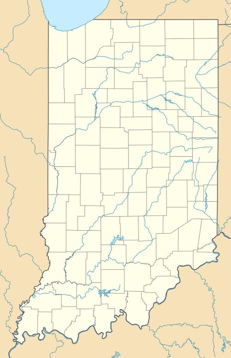 | ||
Alvarado is an unincorporated community in Richland Township, Steuben County, in the U.S. state of Indiana.
Contents
Map of Alvarado, IN 46742, USA
History
An old variant name of the community was called Richland Center.
A post office was established at Alvarado in 1855, and remained in operation until it was discontinued in 1904.
Geography
Alvarado is located at 41°34′24″N 84°50′12″W.
References
Alvarado, Indiana Wikipedia(Text) CC BY-SA