
Elevation 333 m Local time Wednesday 7:24 PM | GNIS feature ID 0468602 Area 94.92 km² Population 575 (2000) | |
 | ||
Weather 4°C, Wind NE at 32 km/h, 91% Humidity | ||
Richland Township is a township in Delaware County, Iowa, USA. As of the 2000 census, its population was 575.
Contents
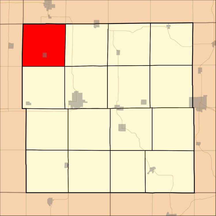
- Map of Richland IA USA
- Geography
- Cities and towns
- Unincorporated towns
- Adjacent townships
- Cemeteries
- References
Map of Richland, IA, USA
Geography
Richland Township covers an area of 36.65 square miles (94.93 square kilometers); of this, 0.18 square miles (0.47 square kilometers) or 0.5 percent is water. The streams of Fenchel Creek and Sand Hagen Creek run through this township.
Cities and towns
Unincorporated towns
(This list is based on USGS data and may include former settlements.)
Adjacent townships
Cemeteries
The township contains six cemeteries: Forestville, Pleasant Hill, Reynolds, Saint Albert, Spring Hill and Stanger Farm.
References
Richland Township, Delaware County, Iowa Wikipedia(Text) CC BY-SA