
Elevation 319 m Local time Tuesday 1:11 AM | GNIS feature ID 0468051 Area 94.43 km² Population 1,060 (2000) | |
 | ||
Weather -9°C, Wind N at 8 km/h, 89% Humidity | ||
Honey Creek Township is a township in Delaware County, Iowa, USA. As of the 2000 census, its population was 1,060.
Contents
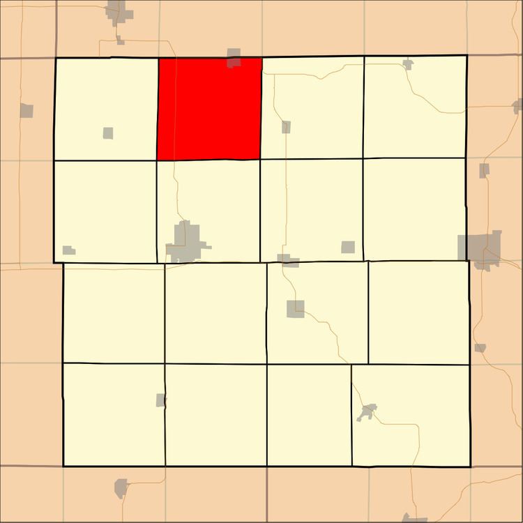
- Map of Honey Creek IA USA
- Geography
- Cities and towns
- Unincorporated towns
- Adjacent townships
- Cemeteries
- Major highways
- References
Map of Honey Creek, IA, USA
Geography
Honey Creek Township covers an area of 36.46 square miles (94.43 square kilometers). The stream of Routherford Branch runs through this township.
Cities and towns
Edgewood is divided by Iowa Highway 3; the north half of the town is in Lodomillo Township, Clayton County.
Unincorporated towns
(This list is based on USGS data and may include former settlements.)
Adjacent townships
Cemeteries
The township contains five cemeteries: Edgewood, Hutson, Roe, Saint Marks and Thorpe Union.
Major highways
References
Honey Creek Township, Delaware County, Iowa Wikipedia(Text) CC BY-SA