
District Bareilly Vehicle registration UP 25 Local time Thursday 5:31 AM | Time zone IST (UTC+5:30) Elevation 274 m Population 67,482 (2011) | |
 | ||
Weather 22°C, Wind NW at 5 km/h, 49% Humidity | ||
Richha is a town and a nagar panchayat in Bareilly district in the Indian state of Uttar Pradesh. It has more than 65 rice industries. Most of these are situated on the Pilibhit Road.A large number of people are employed in these rice mills. Community Health Centre (CHC) is located near Lal Bahadur Shashtri Inter College
Contents
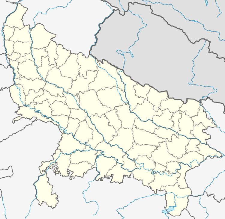
Map of Richha, Uttar Pradesh
Geography
Richha is located at 28°41′38″N 79°31′16″E. It has an average elevation of 274 metres (887 feet).
Richha is a mixture of all major caste and religions, living together peacefully. Most of the population here are Siddiquis. The majority of the population is Muslim followed by Hindus living together peacefully. There are many mosques and temples in the town.
References
Richha Wikipedia(Text) CC BY-SA