
Country United States Time zone CST (UTC-6) Elevation 202 m Population 411 (2010) | Established November 6, 1849 ZIP codes 62312, 62347, 62365 Area 98.5 km² Local time Wednesday 6:57 PM | |
 | ||
Weather 12°C, Wind E at 21 km/h, 86% Humidity | ||
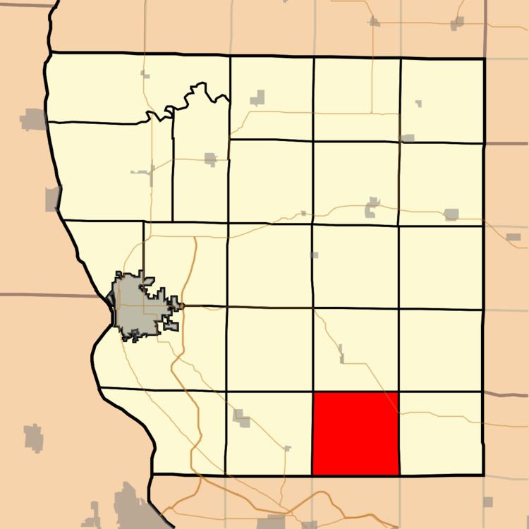
Richfield Township is one of twenty-two townships in Adams County, Illinois, United States. As of the 2010 census, its population was 411 and it contained 183 housing units.
Contents
- Map of Richfield Township IL USA
- Geography
- Unincorporated towns
- Cemeteries
- Major highways
- Airports and landing strips
- School districts
- Political districts
- References
Map of Richfield Township, IL, USA
Geography
According to the 2010 census, the township has a total area of 38.03 square miles (98.5 km2), of which 38.01 square miles (98.4 km2) (or 99.95%) is land and 0.02 square miles (0.052 km2) (or 0.05%) is water.
Unincorporated towns
Cemeteries
The township contains seven cemeteries: Baker Family, Franks, Klarner, Lock Family, Potter, Rice Family and Shiloh.
Major highways
Airports and landing strips
School districts
Political districts
References
Richfield Township, Adams County, Illinois Wikipedia(Text) CC BY-SA