
Country United States County Washington Time zone Central (CST) (UTC-6) | State Wisconsin Elevation 1,148 ft (350 m) Area code(s) 262 | |
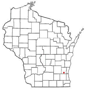 | ||
Richfield is a village in Washington County, Wisconsin, United States. The population was 11,300 at the 2010 census. The unincorporated communities of Colgate and Hubertus are located partially in Richfield.
Contents
- Map of Washington County WI USA
- Incorporation
- Geography
- 2010 census
- 2000 census
- Education
- Transportation
- Notable residents
- References
Map of Washington County, WI, USA
Incorporation
On November 6, 2007, Richfield voters approved the town's incorporation as a village by a margin of 3 to 1. The town became a village on February 13, 2008.
Geography
According to the United States Census Bureau, the village has a total area of 36.46 square miles (94.43 km2), of which, 35.91 square miles (93.01 km2) of it is land and 0.55 square miles (1.42 km2) is water. The low point in the Village lies in Section 1 at Little Cedar Creek with an elevation of 856 feet. The high point in the Village lies in Section 19 in the Cul-de-sac of Cheyenne Court at an elevation of 1,174 feet. (Washington County, Wi 2foot topography)
2010 census
As of the census of 2010, there were 11,300 people, 4,170 households, and 3,465 families residing in the village. The population density was 314.7 inhabitants per square mile (121.5/km2). There were 4,338 housing units at an average density of 120.8 per square mile (46.6/km2). The racial makeup of the village was 96.9% White, 0.8% African American, 0.3% Native American, 1.1% Asian, 0.4% from other races, and 0.5% from two or more races. Hispanic or Latino of any race were 1.4% of the population.
There were 4,170 households of which 34.1% had children under the age of 18 living with them, 75.6% were married couples living together, 4.1% had a female householder with no husband present, 3.3% had a male householder with no wife present, and 16.9% were non-families. 13.7% of all households were made up of individuals and 5.2% had someone living alone who was 65 years of age or older. The average household size was 2.71 and the average family size was 2.99.
The median age in the village was 45 years. 23.9% of residents were under the age of 18; 5.9% were between the ages of 18 and 24; 20.3% were from 25 to 44; 37.5% were from 45 to 64; and 12.5% were 65 years of age or older. The gender makeup of the village was 51.1% male and 48.9% female.
2000 census
As of the census of 2000, there were 10,373 people, 3,614 households, and 3,111 families residing in the town. The population density was 289.2 people per square mile (111.7/km²). There were 3,766 housing units at an average density of 105.0 per square mile (40.5/km²). The racial makeup of the town was 98.28% White, 0.23% African American, 0.04% Native American, 0.67% Asian, 0.07% Pacific Islander, 0.11% from other races, and 0.61% from two or more races. Hispanic or Latino of any race were 0.70% of the population.
There were 3,614 households out of which 38.7% had children under the age of 18 living with them, 78.7% were married couples living together, 4.3% had a female householder with no husband present, and 13.9% were non-families. 11.0% of all households were made up of individuals and 3.3% had someone living alone who was 65 years of age or older. The average household size was 2.87 and the average family size was 3.10.
In the town the population was spread out with 26.6% under the age of 18, 6.1% from 18 to 24, 29.1% from 25 to 44, 30.1% from 45 to 64, and 8.1% who were 65 years of age or older. The median age was 39 years. For every 100 females there were 106.6 males. For every 100 females age 18 and over, there were 104.6 males.
The median income for a household in the town was $72,809, and the median income for a family was $77,572. Males had a median income of $52,048 versus $31,156 for females. The per capita income for the town was $29,859. About 1.1% of families and 1.3% of the population were below the poverty line, including 0.4% of those under age 18 and 3.7% of those age 65 or over.
Education
Richfield is served by Hartford Union High School district. The eastern and southern portion of Richfield, those enrolled in Amy Belle Elementary School, attend Germantown High School. Those students enrolled in Friess Lake School and Richfield Elementary School attend Hartford Union High School.
Transportation
The Riteway Bus Service has their headquarters in Richfield.