
Highest point 831 feet (253 m) Length 16,415 m | Lowest point 662 feet (202 m) | |
 | ||
Designation National Recreation Trail in 2010 Trailheads North: Veto Road at Alabama-Tennessee state line, north of ElkmontSouth: Piney Chapel Road north of Athens Use Bicycle Riding, Pedestrian, and Horseback Riding | ||
The Richard Martin Trail or the Richard Martin Rails-to-Trail is a multi-use rail trail open to hikers, walkers, runners, and horseback riders in Limestone County, Alabama built on an abandoned rail corridor as part of the Rails-to-Trails Conservancy. The 10.2 miles trail winds through wetlands, the Civil War site Battle of Sulphur Creek Trestle and downtown Elkmont, AL.
Contents
Map of Richard Martin Trail, Elkmont, AL 35620, USA
Richard Martin, local citizen and trail supporter, led the effort to build the trail for 25 years.
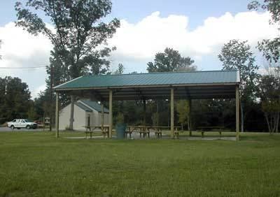
The railroad right-of-way was abandoned in April 1986. Limestone County Parks and Recreation Board (established in 1992) adopted the efforts of Richard Martin to create the trail and its trail heads. Under the Limestone County Parks and Recreation Board purview - the historic church was relocated to the northern head at Veto and parking and restrooms were built; Coffman Park parking and pavilion were built; and upgrades at the Elkmont centerpoint to include horse trailer parking, additional egress points, and trail maintenance such as grading, repair, and anti-motorized vehicle barriers.
Locations
Locations along the trails are listed in North to South order.