
Subregion Tâmega Parishes 5 Area 217.5 km² Population 6,544 (2011) | Region Norte Local time Wednesday 5:27 PM | |
 | ||
Weather 19°C, Wind SW at 10 km/h, 48% Humidity Points of interest Lugar do Bucheiro, Coreto, Solar de Venda Nova | ||
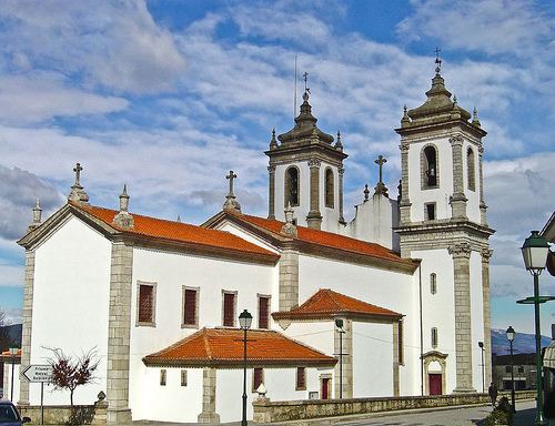
Ribeira de Pena ([ʁiˈβɐjɾɐ ðɨ ˈpenɐ]) is a municipality in the Vila Real District, in Norte Region in Portugal. The population in 2011 was 6,544, in an area of 217.46 km².
Contents
Map of Ribeira de Pena, Portugal
Located on a zone of transition between the harsh and mountainous Trás-os-Montes and the verdant Minho, the municipality of Ribeira de Pena, crossed by the calm waters of the Tâmega River, displays unique characteristics and also offers visitors the unmistakable flavour of the region's green wine. Equally rich is the heritage left by man since remote times, visible at abundant prehistoric remains such as the Stone Age engravings of Lamelas, several dolmens and archaeological monuments and fortified settlements such as the ruins found at Monte do Cabriz, near the village of Cerva.
The current mayor is Agostinho Alves Pinto, elected by a coalition between the Social Democratic Party and the Democratic and Social Centre - People's Party. The municipal holiday is August 15.
Parishes
Administratively, the municipality is divided into 5 civil parishes (freguesias):