Sovereign state United Kingdom Local time Wednesday 2:03 PM Ceremonial county Dyfed | Country Wales Postcode district SA32 | |
 | ||
Weather 13°C, Wind S at 34 km/h, 87% Humidity Welsh assembly Carmarthen East and Dinefwr | ||
Rhydargaeau is a village in Carmarthenshire, Wales. It lies along the A485 road which connects it to Pontarsais in the north and Peniel and Carmarthen, 3.8 miles (6.1 km) to the south. The village is located in the community of Llanllawddog. The village pub is the Bluebell and Rhydargaeau also contains a Baptist church and Upper Llawddog Pump House.
Contents
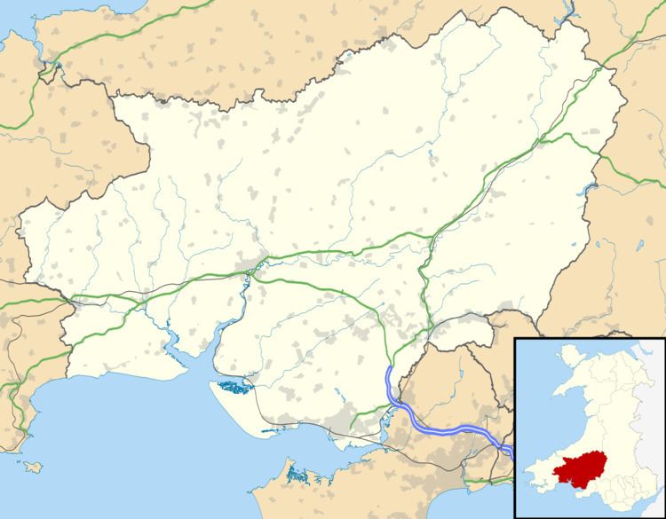
Map of Rhydargaeau, Carmarthen, UK
Notable people
References
Rhydargaeau Wikipedia(Text) CC BY-SA
