
Elevation 148 m | Population 23 (2005) | |
 | ||
Federal subject Far Eastern Federal District | ||
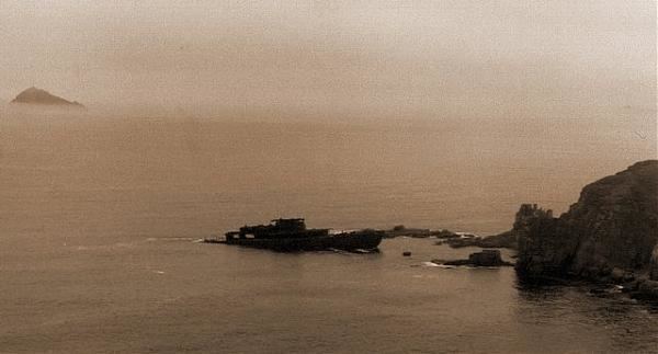
Reyneke Island (Russian: Остров Рейнеке) is an island in Peter the Great Gulf in 25 km to the south of Zolotoy Rog. It is a part of the Eugénie Archipelago.
Contents
Map of Reyneke Island, Reyneke, Primorskiy Kray, Russia, 690922
Geography
The island is 4,6 km2 in area, and has a population of 23 (2005) in its only settlement. It is the smallest both by area and population of four inhabited islands of Primorsky Krai after Russky, Putyatin and Popov Islands. Administratively the island is under the Vladivostok's jurisdiction.
The western part of the island is covered by deciduous forest (oak, acer and tilia), while the eastern side is more meadowy. Pinales are rarely on the island, except for pinus koraiensis. There is one islet and many kekurs near the island.
Reyneke Island is a summer recreation for Primorye peoples. Beaches are pebbly and sandy. A ferry connected island and mainland Vladivostok three times a week in a warm season. The main branches of economy of island are fish-processing and tourism.
Etymology
This island was named after Mikhail Reyneke, Vice Admiral and hydrographer.