
 | ||
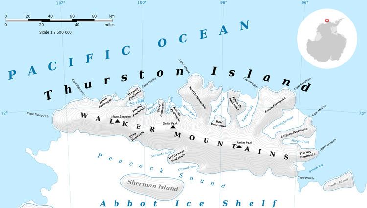
Rexford Glacier (72°5′S 100°4′W) is a glacier flowing northeast into the head of Wagoner Inlet on the north side of Thurston Island. Named by Advisory Committee on Antarctic Names (US-ACAN) after Aviation Radioman Phillip W. Rexford, PBM Mariner aircrewman in the Eastern Group of U.S. Navy Operation Highjump, which obtained aerial photographs of this glacier and adjoining coastal areas, 1946-47.
Contents
Map of Rexford Glacier, Antarctica
Maps
This article incorporates public domain material from the United States Geological Survey document "Rexford Glacier" (content from the Geographic Names Information System).
References
Rexford Glacier Wikipedia(Text) CC BY-SA