
Launch date 17 October 2003 Inclination 98.69° | Orbital period 1.7 hours Inclination 98.69° | |
 | ||
Similar Resourcesat‑2, Cartosat‑1, IRS‑1D, IRS‑1C, Cartosat‑2 | ||
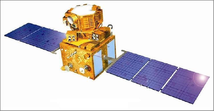
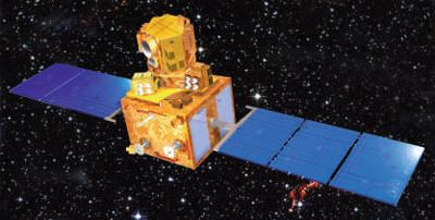
RESOURCESAT-1 (also known as IRS-P6) is an advanced remote sensing satellite built by Indian Space Research Organization (ISRO). The tenth satellite of ISRO in IRS series, RESOURCESAT-1 is intended to not only continue the remote sensing data services provided by IRS-1C and IRS-1D, both of which have far outlived their designed mission lives, but also vastly enhance the data quality.
Contents
Launch
The 1360 kg RESOURCESAT-1 was launched into an 817 km high polar sun synchronous orbit by the eighth flight of India's Polar Satellite Launch Vehicle (PSLV-C5).
Payloads
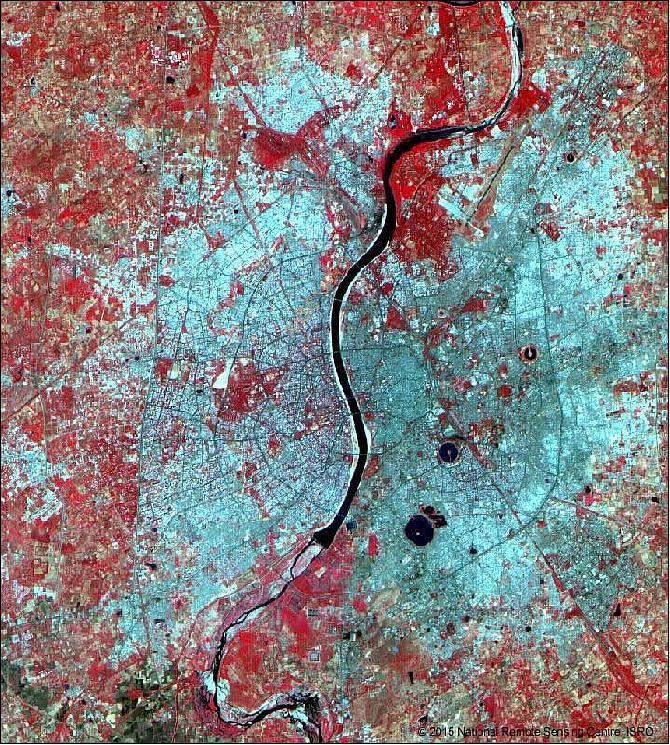
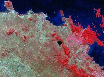
RESOURCESAT-1 carries three cameras similar to those of IRS-1C and IRS-1D but with vastly improved spatial resolutions - a high resolution Linear Imaging Self Scanner (LISS-4) operating in three spectral bands in the visible and Near Infrared Region (VNIR) with 5.8 metre spatial resolution and steerable up to 26 degrees across track to obtain stereoscopic imagery and achieve five-day revisit capability; a medium resolution LISS-3 operating in three spectral bands in VNIR and one in Short Wave Infrared (SWIR) band with 23.5 metre spatial resolution; and an Advanced Wide Field Sensor (AWiFS) operating in three spectral bands in VNIR and one band in SWIR with 56 metre spatial resolution.
RESOURCESAT-1 also carries a solid state recorder with a capacity of 120 GigaBits to store the images taken by its cameras which can be read out later to the ground stations.