Canton Fauquembergues Area 15.67 km² | Local time Tuesday 12:16 AM | |
 | ||
Weather 9°C, Wind SW at 6 km/h, 75% Humidity | ||
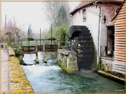
Renty is a commune in the Pas-de-Calais department in the Hauts-de-France region of France.
Contents
Map of 62560 Renty, France
Geography
Renty lies about 13 miles (21 km) southwest of Saint-Omer, on the D129 road, by the banks of the river Aa.
Places of interest
The Battle of Renty (August 13th, 1554)
Henry II of France inherited his father’s fight against Charles Quint. After the failure of a peace trip to Germany, his armies occupied Metz, Toul and Verdun in order to consolidate the north-east border of France. In June 1554, Renty, a small village with a solid castle was in the hands of Spanish imperial troops.
At noon, the French artillery began firing at Renty Castle. The siege lasted until August 15.
The castle was restored in 1630 but was destroyed eight years later in August 1638, during the Thirty Years War, by Marshal Châtillon.
There are still traces of the feudal motte in the centre of the village.
