
District Guntur Time zone IST (UTC+5:30) Area 21.7 km² Population 16,523 (2011) | Mandal Rentachintala PIN 522421 Elevation 136 m Local time Tuesday 3:32 AM | |
 | ||
Weather 27°C, Wind S at 8 km/h, 73% Humidity | ||
Svd ordination at rentachintala guntur andhrapradesh india
Rentachintala is a village in Guntur district of the Indian state of Andhra Pradesh. It is located in Rentachintala mandal of Gurazala revenue division. It is most populus for the red chillies production. And is more beautiful town in the winter. And is the most hot up to 50 degrees temp top in andhra pradesh in the summer. It has a railway station. The trains between Guntur-Macherla are run through this station. And it has a Nadikudi Junction nearly at 20 km. The Rentachintala town is well connected by roads. The state highway 2 passes through Rentachintala. The church built by British is the main temple in the Rentachintala. And the river 'Krishna river flows from rentachintala in the village of satrasala. Every year on Maha Shivaratri the temple in satrasala is decorated as more beautiful and many of pilgrims are come to here. The Venugopala swamy is the second largest temple in the rentachintala and located near the satrasala road. Recently Krishna pushkaralu are done in satrasala at a grand level.The ghat in satrasala is the largest ghat in the palnadu region. A small water power plant is planned here recently.
Contents
- Svd ordination at rentachintala guntur andhrapradesh india
- Map of Rentachintala Andhra Pradesh 522421
- ten commandments rev fr jayaraju alcp oss kanukamatha church rentachintala guntur ap 5 3 16 part 1
- Etymology
- Demographics
- Geography and climate
- The Church
- References
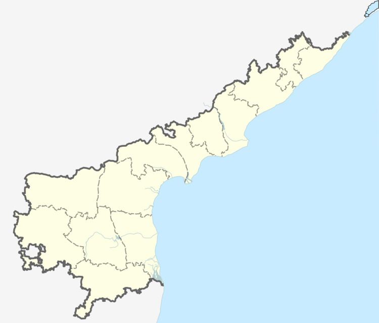
Map of Rentachintala, Andhra Pradesh 522421
Rentachintala is the most warmest area in the andhra pradesh.It has 3 more meeseva centers in the town.
[null MeeSeva Center]1
[null MeeSeva Center]2 you can also find on maps.
ten commandments rev fr jayaraju alcp oss kanukamatha church rentachintala guntur ap 5 3 16 part 1
Etymology
The name Rentachintala is said to have originated from Rendu Chintalu, Rendu meaning the number two and Chintalu meaning tamarind. The village is said to be established between two tamarind trees after which the name of the village is coined.
Demographics
As of 2011 Census of India, Rentachintala has a total population of 16,523. Males constitute 51% and females constitute 49% of the population. The literacy in Retachintala is 55.46%, lower than the national average of 74.04%. Male literacy is at 63.33% and female literacy is at 47.27%. Less than 1% of the population at Rentachintala is below 6 years of age.
Geography and climate
Rentachintala is located near latitude 16.55 N and longitude 79.55 E. The village lies in the Krishna riverplains, having an elevation of 130 metres (430 ft) above sea level. The nearest large water body is the Nagarjuna Sagar lake, about 25 kilometres (16 mi) west of Rentachintala.
Rentachintala has a Tropical wet and dry climate. The highest temperatures are experienced in the month of May, when the summer season is at its peak. The maximum temperature averages more than 40 degrees, occasionally reaching as high as 45 degrees. The highest temperature ever recorded is 52 degrees Celsius in 2012. Winters are pleasant, with occasional spells of rain from the northwest monsoon.
The Church
The church in the rentachintala is built by british government during indias rule.you can find the images of the church here.