
Time zone SAST (UTC+2) Area 5,527 km² Black african population 32.9% Native english speakers 1.5% | Wards 4 Municipal code NC075 White population 8.6% Native afrikaans speakers 71.4% Native sotho speakers 1.3% | |
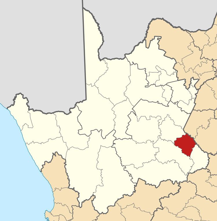 | ||
Renosterberg local municipality
Renosterberg Local Municipality is a local municipality in the Pixley ka Seme District Municipality district of the Northern Cape province of South Africa.
Contents
- Renosterberg local municipality
- Map of Phillipstown South Africa
- Brand new lamborghini for sale renosterberg local municipality south africa
- Main places
- Politics
- References
Map of Phillipstown, South Africa
Brand new lamborghini for sale renosterberg local municipality south africa
Main places
The 2001 census divided the municipality into the following main places:
Politics
The municipal council consists of seven members elected by mixed-member proportional representation. Four councillors are elected by first-past-the-post voting in four wards, while the remaining three are chosen from party lists so that the total number of party representatives is proportional to the number of votes received. In the election of 18 May 2011 the African National Congress (ANC) won a majority of four seats on the council. The following table shows the results of the election.
References
Renosterberg Local Municipality Wikipedia(Text) CC BY-SA