
Established 1880 Footnotes Adjoining localities Postal code 5280 | Postcode(s) 5280 Local time Tuesday 5:49 AM | |
 | ||
Location 392 km (244 mi) SE of Adelaide63 km (39 mi) NW of Mount Gambier13 km (8 mi) NW of Millicent Weather 14°C, Wind W at 13 km/h, 81% Humidity | ||
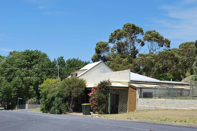
Rendelsham is a town in the south-east of South Australia, 392 kilometres (244 mi) south east of the state capital, Adelaide. It is on the Southern Ports Highway between Beachport and Millicent.
Map of Rendelsham SA 5280, Australia
Rendelsham was also on the narrow-gauge railway between Beachport and Mount Gambier from its opening in 1878 until 1956. When part of the line was converted to broad gauge, the part between Millicent and Beachport was decommissioned instead of converted, removing railway service from Rendelsham.
Rendelsham is located within the federal division of Barker, the state Electoral district of MacKillop and the local government area of the Wattle Range Council.
References
Rendelsham, South Australia Wikipedia(Text) CC BY-SA