
Max. length 30 kilometres (19 mi) | Max. width 14 kilometres (8.7 mi) | |
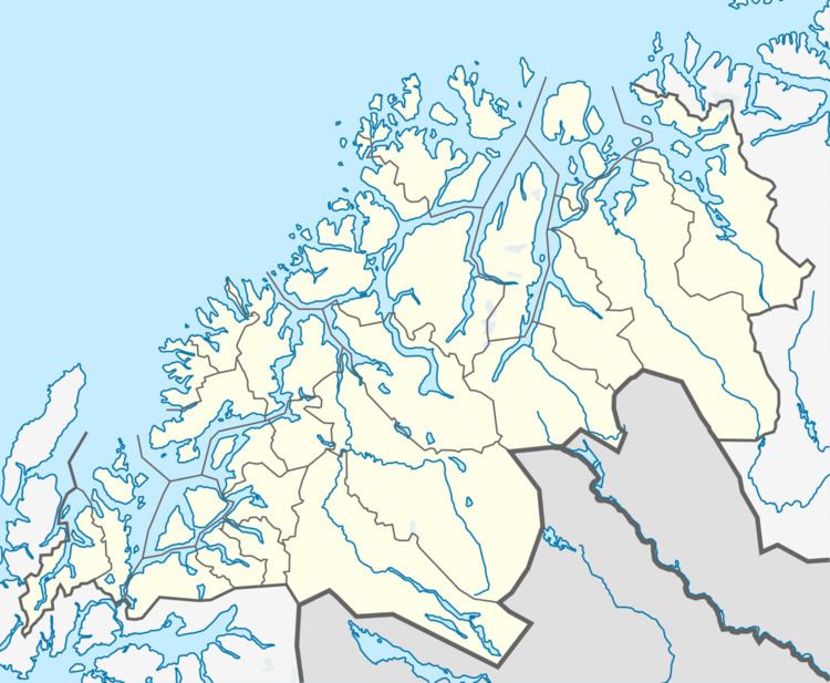 | ||
Reisafjorden (Northern Sami: Ráisavuotna; Kven: Raisinvuono) is a fjord in the municipality of Nordreisa (with very small parts in Kvænangen and Skjervøy municipalities) in Troms county, Norway. The 30-kilometre (19 mi) long fjord is an arm off the main Kvænangen. The fjord is fed by the river Reisaelva which flows through the 80-kilometre (50 mi) long Reisadalen valley which starts inside Reisa National Park. The villages of Storslett and Sørkjosen are both located along the southern shore of the fjord. The European route E06 highway runs along the shore of the inner part of the fjord.
Map of Reisafjorden, 9151 Storslett, Norway
References
Reisafjorden (Nordreisa) Wikipedia(Text) CC BY-SA