
Width 10 km (6 mi) Highest elevation 872 m (2,861 ft) Elevation 872 m | Length 24 km (14.9 mi) Coastline 58 km (36 mi) Highest point Sæterelvtinden Area 147 km² | |
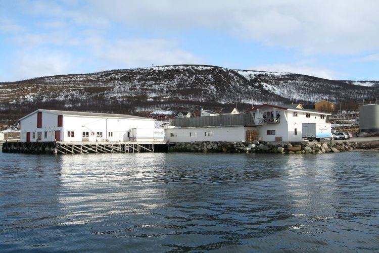 | ||
Reinøya is an island in the municipality of Karlsøy in Troms county, Norway. The 147-square-kilometre (57 sq mi) lies directly east of the large island of Ringvassøya, and the small island of Karlsøya lies to the north of the island. The Ullsfjorden lies along the eastern coast of the island.
Map of Rein%C3%B8ya, 9132 Stakkvik, Norway
The southern part of the island was part of the municipality of Tromsø until 1 January 2008 when it was transferred to the municipality of Karlsøy. The undersea Langsund Tunnel is being built connecting the islands of Reinøya and Ringvassøya. This tunnel was scheduled to be completed in 2015.
References
Reinøya, Troms Wikipedia(Text) CC BY-SA