
Admin. region Oberbayern Elevation 448 m (1,470 ft) Area 23.59 km² Local time Monday 7:45 AM | Time zone CET/CEST (UTC+1/+2) Population 4,908 (31 Dec 2008) Postal code 85293 | |
 | ||
Weather 1°C, Wind E at 11 km/h, 68% Humidity | ||
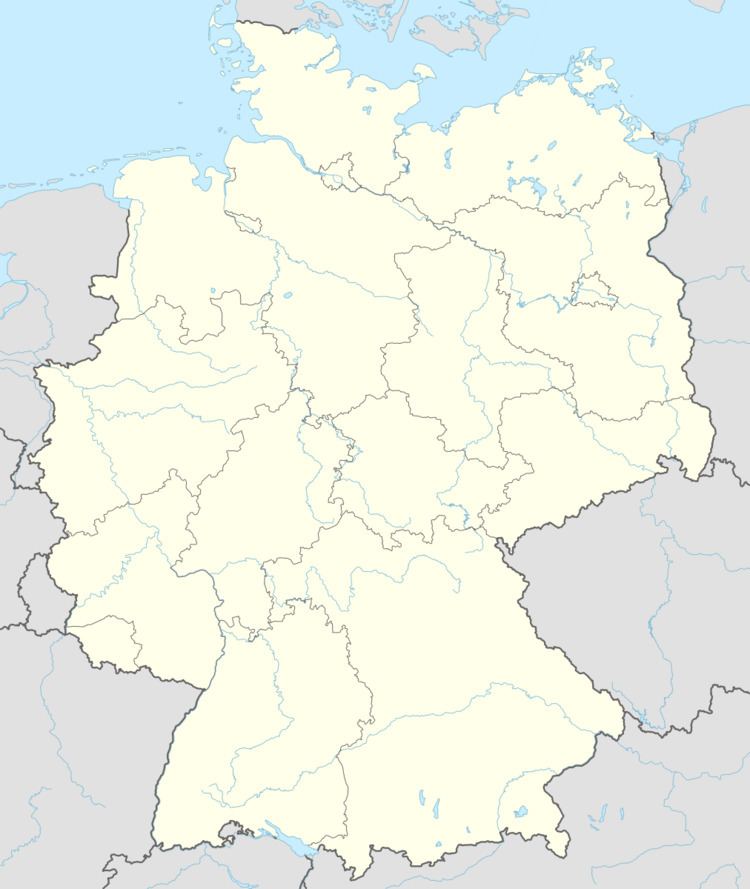
Reichertshausen is a municipality in the district of Pfaffenhofen in Bavaria in Germany and is near the A9 and between Munich and Ingolstadt.
Contents
Map of Reichertshausen, Germany
Geography
The Bundesstrasse 13 (B13) runs through Reichertshausen. Also the river Ilm, which gives the valley (Ilmtal) its name and is a tributary to the Abens, runs through the town.
District
References
Reichertshausen Wikipedia(Text) CC BY-SA