
Capital Prince George | Province British Columbia | |
 | ||
Colleges and Universities University of Northern British Columbia, College of New Caledonia Clubs and Teams Prince George Cougars, Prince George Spruce Kings Points of interest The Exploration Place, Prince George Railway a, Fort George Canyon P, Eskers Provincial Park, Purden Ski Village Destinations Prince George, Mount Robson Provincial, Valemount, McBride, Kakwa Provincial Park and | ||
Recycling to continue for regional district of fraser fort george
The Regional District of Fraser-Fort George (RDFFG) is a regional district located in the Central Interior of British Columbia. It is bounded by the Alberta border to the east, the Columbia-Shuswap and Thompson-Nicola Regional Districts to the south/southeast, Cariboo Regional District to the southwest, the Regional District of Bulkley-Nechako to the west, and the Peace River Regional District to the north/northeast. As of the Canada 2011 Census, the Regional District had a population of 91,879, and a land area of 51,083.73 km² (19,723.54 sq mi). The offices of the Regional District are located at Prince George.
Contents
- Recycling to continue for regional district of fraser fort george
- Map of Fraser Fort George BC Canada
- Cities
- District Municipality
- Villages
- Regional District Electoral Areas
- Indian Reserves
- Demographics
- References
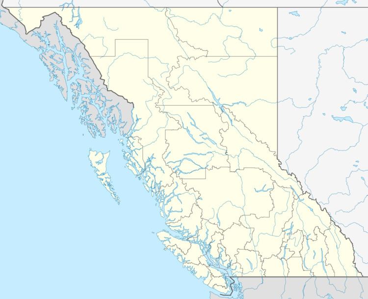
Map of Fraser-Fort George, BC, Canada
Cities
District Municipality
Villages
Regional District Electoral Areas
Indian Reserves
NB Indian Reserves are not part of municipal or regional district governance and are outside the regional district's jurisdiction, and also counted separately in the census figures.
Demographics
(Statistics Canada, 2011)