
- elevation 660 ft (201 m) | - elevation 3 ft (1 m) | |
 | ||
- location southwest of Rodeo, California | ||
Refugio creek hercules ca 3d mapping with dronedeploy
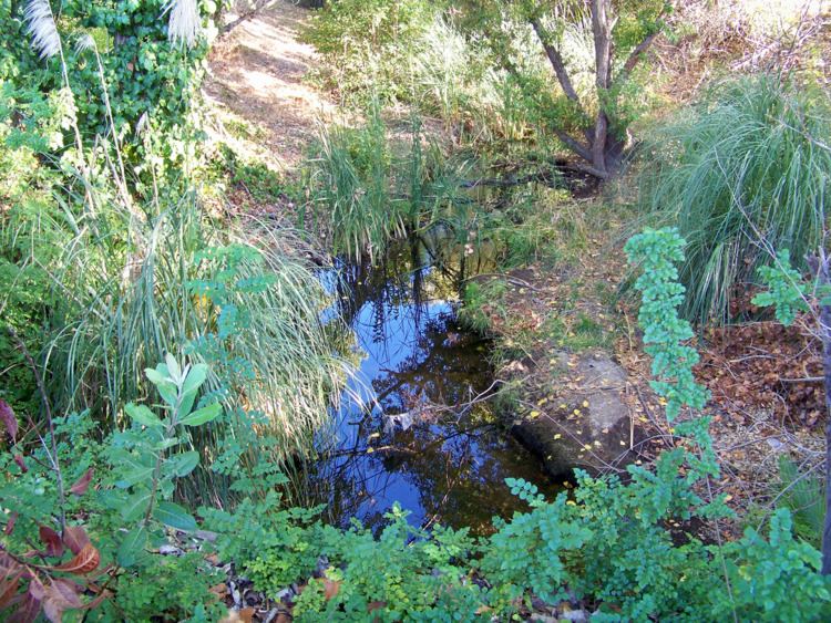
Refugio Creek (pronounced from Spanish refugio meaning: shelter) is a 4.4-mile-long (7.1 km) watercourse running through the Refugio Valley from the hills of western Contra Costa County, California, to its mouth at San Pablo Bay through the city of Hercules and unincorporated areas, including the town of Rodeo. The creek passes through a dense suburban area in addition to Refugio Valley Park. The creek is almost entirely at the surface level and unaltered although its riparian habitat is largely destroyed in the more developed areas. Refugio means "refuge" in the Spanish language.
Contents
Map of Refugio Creek, Hercules, CA, USA
References
Refugio Creek Wikipedia(Text) CC BY-SA