
Country United States ZIP codes 50441, 50633 Elevation 360 m Local time Sunday 2:04 PM | Time zone CST (UTC-6) GNIS feature ID 0468595 Area 92.17 km² Population 262 (2010) | |
 | ||
Weather 6°C, Wind NW at 11 km/h, 96% Humidity | ||
Reeve Township is one of sixteen townships in Franklin County, Iowa, United States. As of the 2010 census, its population was 262 and it contained 135 housing units.
Contents
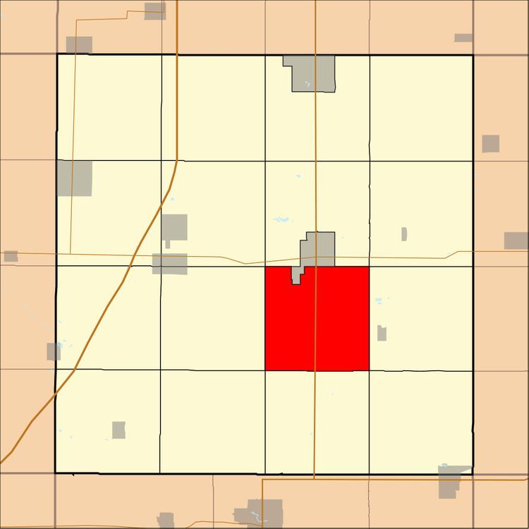
- Map of Reeve IA USA
- History
- Geography
- Unincorporated towns
- Cemeteries
- Transportation
- School districts
- Political districts
- References
Map of Reeve, IA, USA
History
Reeve Township was organized in 1855. It was named for J. B. Reeve, a pioneer settler.
Geography
As of the 2010 census, Reeve Township covered an area of 35.59 square miles (92.2 km2), all land.
Unincorporated towns
(This list is based on USGS data and may include former settlements.)
Cemeteries
The township contains Maynes Grove Cemetery, Maysville Cemetery, Redding Cemetery and Towle Cemetery.
Transportation
School districts
Political districts
References
Reeve Township, Franklin County, Iowa Wikipedia(Text) CC BY-SA