Country Canada Time zone MST (UTC-7) Elevation 1,250 m Population 983 (2011) | Indian reserve Tsuu T'ina Nation 145 Area code(s) +1-403, +1-587 Area 162 ha Local time Sunday 11:13 AM | |
 | ||
Weather 5°C, Wind S at 5 km/h, 31% Humidity | ||
Redwood Meadows is a unique community known as a townsite in Alberta, Canada – the only townsite recognized by Alberta Municipal Affairs at this time.
Contents
Map of Redwood Meadows, AB, Canada
Redwood Meadows is unique in that it is a partially independent municipality, functioning similar to an incorporated Alberta town, but is different from all other Alberta towns due to:
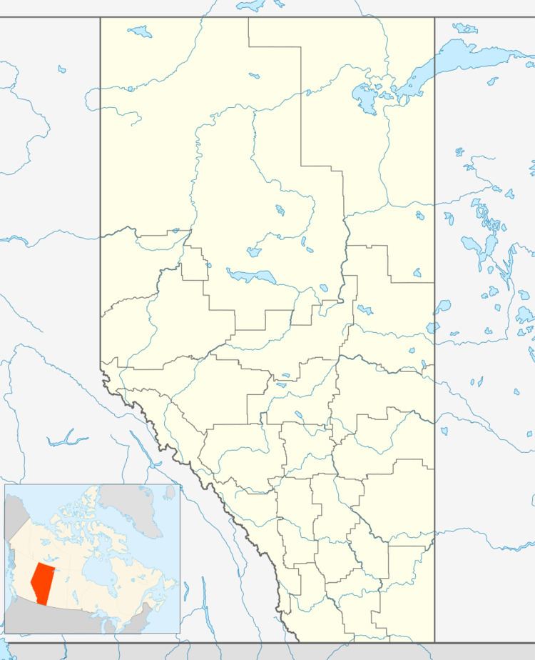
The Townsite of Redwood Meadows is located along Highway 22, approximately 20 km west of Calgary, 18 km south of Cochrane and 5 km northeast of Bragg Creek. It has an elevation of 1,250 metres (4,100 ft) and is approximately 400 acres (1.6 km2) in size (1.62 km² or 0.6 sq mi).
Redwood Meadows is located in census division No. 6 and in the federal riding of Foothills.
Administration
Although the Townsite of Redwood Meadows is located within the Tsuu T'ina Nation 145 Indian reserve, it has its own Town Council of a mayor and six councillors.
History
In the early 1970s, the land upon which Redwood Meadows is developed was leased to Sarcee Developments Ltd. (SDL), a wholly owned Tsuu T'ina company. The Head Lease, 75 years in duration, commenced in 1974 and will terminate in 2049 (unless there is a lease renewal). SDL sub-leases individual lots to the residents, which will also terminate in 2049.
Services
Redwood Meadows shares municipal and emergency services with nearby municipalities through various contracts and agreements. It is serviced with water, sewer, parks and roads and has a volunteer fire department. The Redwood Meadows Golf and Country Club is located in the townsite.
Demographics
The Townsite of Redwood Meadows had a population of 983 in the 2011 Census according to Alberta Municipal Affairs. Its most recent municipal census prior to this indicated that it had a population of 1,150 on June 30, 2005.
