
Country United States County Clare Time zone Eastern (EST) (UTC-5) Local time Sunday 9:44 AM | Organized April 1891 Elevation 321 m Population 526 (2010) | |
 | ||
Weather 1°C, Wind E at 14 km/h, 98% Humidity Area 91.69 km² (90.39 km² Land / 129 ha Water) | ||
Redding Township is a civil township of Clare County in the U.S. state of Michigan. The population was 526 at the 2010 census.
Contents
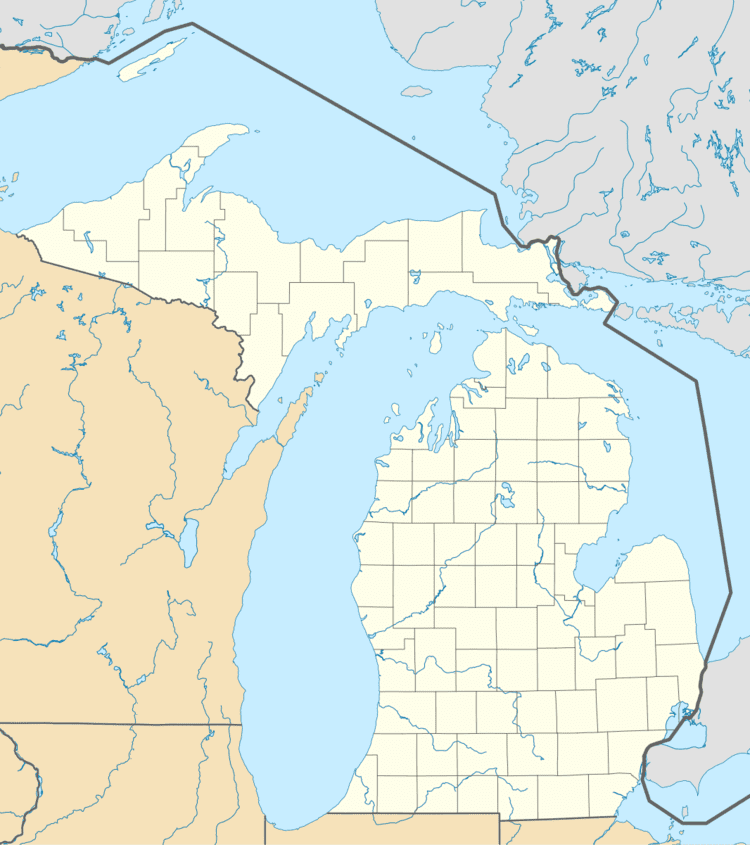
Map of Redding Township, MI, USA
Communities
Geography
Redding Township is in western Clare County and is bordered by Osceola County to the west. M-61 crosses the township, passing through Temple and leading east to Harrison, the county seat, and west to M-115.
According to the United States Census Bureau, the township has a total area of 35.4 square miles (91.8 km2), of which 34.9 square miles (90.4 km2) is land and 0.54 square miles (1.4 km2), or 1.49%, is water. The Muskegon River flows across the township from the northern border to the southwest corner, passing just west of Temple.
Demographics
As of the census of 2000, there were 526 people, 219 households, and 153 families residing in the township. The population density was 14.9 per square mile (5.8/km²). There were 497 housing units at an average density of 14.1 per square mile (5.4/km²). The racial makeup of the township was 97.15% White, 0.57% African American, 0.38% Asian, 0.38% from other races, and 1.52% from two or more races. Hispanic or Latino of any race were 0.57% of the population.
There were 219 households out of which 26.0% had children under the age of 18 living with them, 53.4% were married couples living together, 6.8% had a female householder with no husband present, and 30.1% were non-families. 24.7% of all households were made up of individuals and 11.0% had someone living alone who was 65 years of age or older. The average household size was 2.40 and the average family size was 2.79.
In the township the population was spread out with 24.1% under the age of 18, 6.7% from 18 to 24, 25.9% from 25 to 44, 27.8% from 45 to 64, and 15.6% who were 65 years of age or older. The median age was 42 years. For every 100 females there were 104.7 males. For every 100 females age 18 and over, there were 108.9 males.
The median income for a household in the township was $24,438, and the median income for a family was $28,864. Males had a median income of $25,469 versus $26,000 for females. The per capita income for the township was $14,687. About 16.5% of families and 19.4% of the population were below the poverty line, including 20.2% of those under age 18 and 11.7% of those age 65 or over.