
Local time Monday 2:31 AM | ||
 | ||
Weather 15°C, Wind SW at 13 km/h, 100% Humidity | ||
Redcliffs is an outer coastal suburb of Christchurch, Canterbury, New Zealand.
Contents
- Map of Redcliffs Christchurch 8081 New Zealand
- Location
- Geology
- Demographics
- Recreation
- 2011 Christchurch earthquake
- References
Map of Redcliffs, Christchurch 8081, New Zealand
Location
The suburb is most directly accessed from the city centre by a causeway that crosses the Avon Heathcote Estuary and is the suburb immediately before Sumner. Alternatively, Redcliffs can be accessed through McCormack's Bay Road, which circles the perimeter of the Avon Heathcote Estuary. The coastal road from Redcliffs to Sumner allows for further access to the port and suburb of Lyttelton and the Port Hills, and an alternative—if long—route to the city centre.
Geology
Redcliffs is characterised by rocky, hilly geography and has many natural caves in its sides. The domineering cliffs of Redcliffs are a snapshot of the region's volcanic origins. The cliffs are tinged with veins of red tephra, and composed of 'A'ā lava flows; the suburb draws its name from this the most notable of its physical features.
Demographics
The suburb is affluent by New Zealand standards and property values are relatively high, with the average house costing NZ$450,000 in 2006. Redcliffs has a significant number of baby boomers.
Recreation
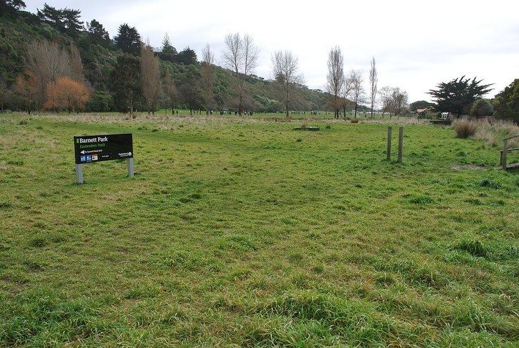
Barnett Park, open to public access, and a product of the earliest council recreation planning in the wider Christchurch region, is located in Redcliffs. The suburb also hosts a bowling green, and a smaller park adjacent to the estuary which bears the suburb's name, Redcliffs Park.
2011 Christchurch earthquake
In contrast to the September 2010 earthquake, Redcliffs and the surrounding hills suffered significant damage in the 22 February 2011 earthquake. Dozens of houses were deemed unliveable and hundreds more damaged. There was a large scale evacuation of several streets in Redcliffs at 10pm on Thursday, 24 February after some cliffs surrounding Redcliffs were deemed unstable. The following morning, a few streets or partial streets remained cordoned off but many people were able to return to their homes immediately.
By 7 March, detailed geotechnical inspections of the affected land inside the remaining cordons began with a view to removing them. They were removed on 8 March.
In the meanwhile, Redcliffs citizens experiencing a near-total information-vacuum from officialdom launched a local information centre on 26 February, followed by a regular newsletter from 27 February, followed by two support websites.
On 2 March, Redcliffs resident Peter Hyde launched a viral call to encourage more support, especially key supplies and information, for the worst affected Eastern suburbs of Christchurch. In particular those to the north of Redcliffs such as Parklands, Aranui, Bromley, Avonside, Bexley and New Brighton.