
Population 4,280 (2006 census) Postal code 6104 | Postcode(s) 6104 | |
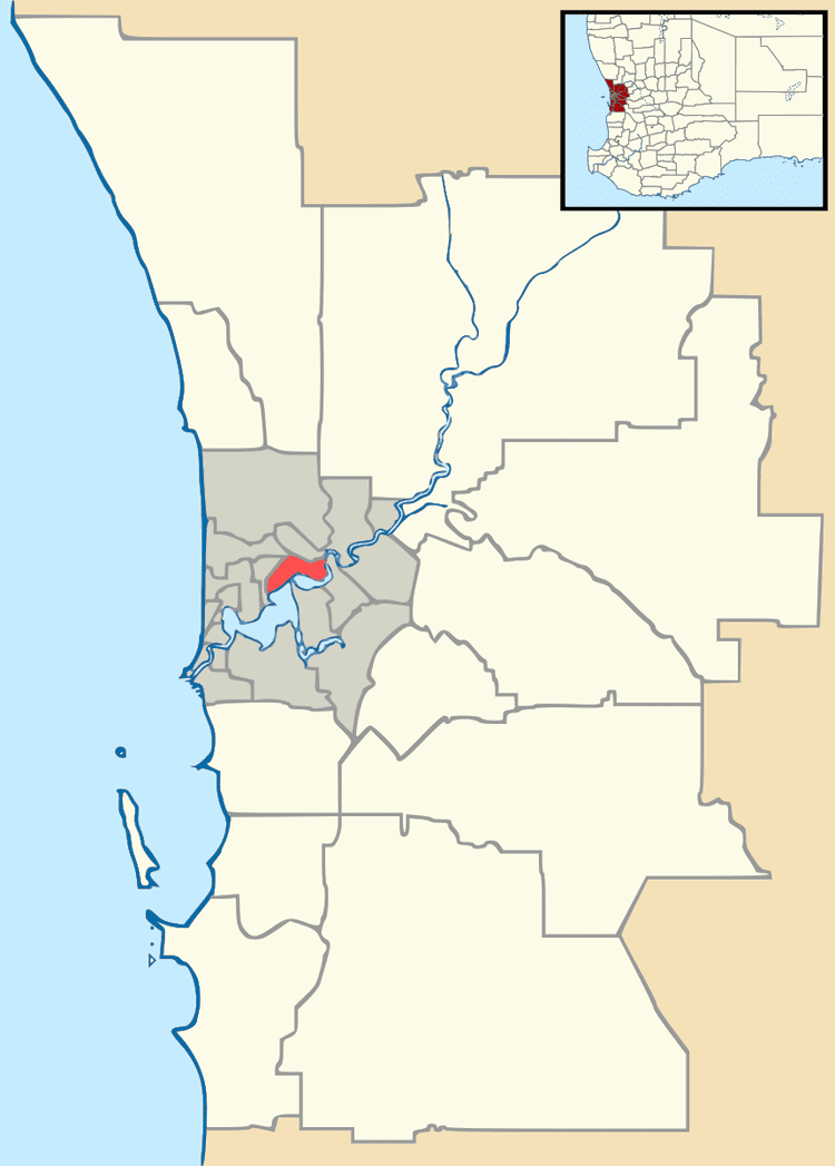 | ||
Redcliffe is a suburb of Perth, Western Australia, located in the City of Belmont local government area.
Map of Redcliffe WA 6104, Australia
The boundaries of the suburb are determined by the Great Eastern Highway, Tonkin Highway and Epsom Avenue, Belmont, and the grounds of the Perth International Airport which lie on the eastern edge of the suburb.
The story of its name is ambiguous: while some claim it was named after steep red clay deposits that lined the banks of the Swan River when settlers first arrived, others claim that it was named after the ancestorial home of an early settler. The suburb was once a single property near modern-day Water Street and the main house, 'Nulsen Haven' still stands today. The local Primary school which impressively remains open was built in 1908 and at this time, Redcliffe had been transformed from one property into many small farms after being subdivided in 1897.
Modern Redcliffe is a mix of residential, semi-industrial and retail buildings. It is 18 minutes from the Perth CBD and a short walk from the Swan River.
Redcliffe is scheduled to gain a railway station in 2020, when Airport West opens as part of the Forrestfield-Airport Link.