
Population 5,078 (2006 census) Location 9 km (6 mi) E of Perth Area 4.4 km² Local time Friday 1:18 AM | Postcode(s) 6104 Postal code 6104 | |
 | ||
Weather 22°C, Wind SE at 8 km/h, 92% Humidity | ||
Belmont is a suburb of Perth, the capital city of Western Australia, and is located 7 kilometres (4 mi) east of Perth's central business district (CBD) on the southern bank of the Swan River. Its local government area is the City of Belmont.
Map of Belmont WA 6104, Australia
The suburb, part of a land grant assigned to Captain Francis Henry Byrne in 1831, was believed to have been named Belmont after Byrne's estate in England. The land was purchased by Shepherd Smith of Sydney in 1882, who subdivided it in 1897–1898. The suburb was known as "Belmont Park" until being renamed in 1968.
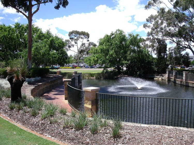
Today, the suburb is mixed-use in character. The western part of the suburb is primarily industrial and commercial, while the east and north are more residential, with various motels and other accommodation along Great Eastern Highway which forms the suburb's north-western boundary. It contains two public schools—Belmont Primary School, and Belmont City College (formerly Belmont Senior High School)—as well as Centenary Park, Signal Hill Bushland, the Belgravia Residential Estate and a 500-metre (1,600 ft) section on the south bank of the Swan River.