Postcode(s) 5502 Redbanks Woolsheds, Fischer Federal division Division of Wakefield | Postal code 5502 | |
 | ||
LGA(s) Adelaide Plains Council | ||
Redbanks is a town and locality in South Australia's lower Mid North. The boundaries were formally established in June 1997 for "the long established name".
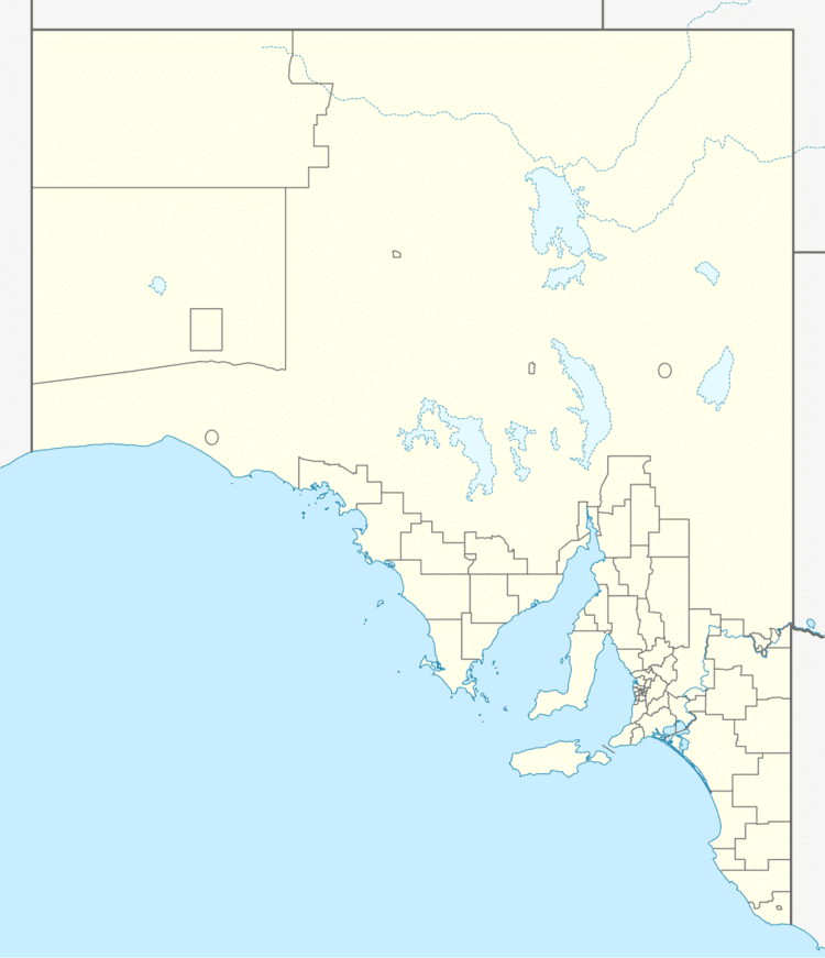
Map of Redbanks SA 5502, Australia
Redbanks is located on the Gawler to Mallala road (Redbanks Road), east of the bridge over the Light River. Redbanks Post Office opened in November 1868 and closed in March 1971.
References
Redbanks, South Australia Wikipedia(Text) CC BY-SA
