
Country United States County Garrett Area code(s) 240 & 301 Elevation 775 m | State Maryland Time zone Eastern (EST) (UTC-5) GNIS feature ID 586795 Local time Sunday 3:37 AM | |
 | ||
Weather 12°C, Wind E at 10 km/h, 80% Humidity | ||
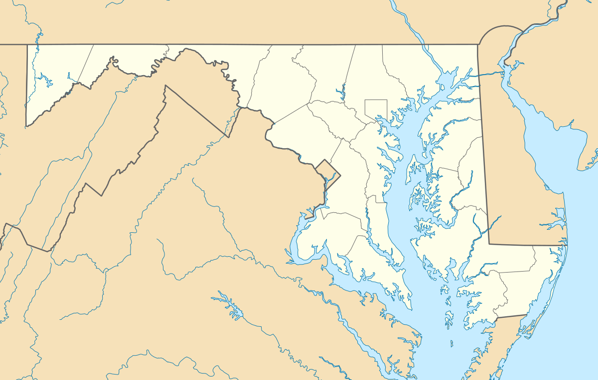
Red House is an unincorporated community in Garrett County, Maryland, United States, located at the intersection of U.S. Route 50 and U.S. Route 219 near the West Virginia state line.
Map of Redhouse, 8, Red House, MD 21550, USA
References
Red House, Maryland Wikipedia(Text) CC BY-SA