
Country United States Area code(s) 575 Local time Sunday 1:20 AM | Time zone Mountain (MST) (UTC-5) GNIS feature ID 910058 Population 0 (2000) | |
 | ||
Weather 2°C, Wind W at 11 km/h, 66% Humidity | ||
Red Hill is a ghost town in Catron County, New Mexico, United States, west of Quemado.
Contents
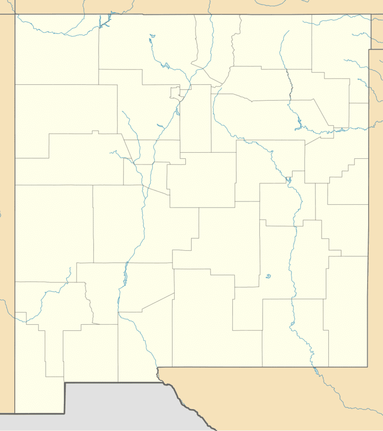
Map of Red Hill, New Mexico 87829, USA
Red Hill volcanic field
Also known as the Quemado volcanic field, Red Hill is 24 kilometers east of the larger Springerville volcanic field and immediately south of the Zuni Salt Lake field. The area is made up of scoria cone and silicic dome fields The last eruption was 23,000 yrs B.P.
Red Hill gold rumor
In 1836 a prospector named Adams staggered into the town of Piños Altos. With multiple arrow wounds and close to death, he told several people gathered around him that he had been prospecting of in the north. When they opened his knapsack they found a fortune in gold. His only marker to tell where the gold field was a red hill in the distance, where he described gold lying everywhere. Adams died before he could give more details, and the place he described has never been found.