
Country Canada Time zone MST (UTC-7) Area 38.68 km² Number of airports 1 | Census division No. 17 Elevation 520 m Population 337 (2011) Local time Sunday 12:41 AM | |
 | ||
Weather 1°C, Wind NW at 8 km/h, 79% Humidity | ||
Google road trip rivercourse alberta canada to red earth creek alberta canada
Red Earth Creek is a hamlet in Alberta, Canada within the Municipal District of Opportunity No. 17. It is located east of Highway 88, between the Town of Slave Lake and the Hamlet of Fort Vermilion, and has an elevation of 520 metres (1,710 ft).
Contents
- Google road trip rivercourse alberta canada to red earth creek alberta canada
- Map of Red Earth Creek AB Canada
- Snow fall in red earth creek dec 4
- Demographics
- References
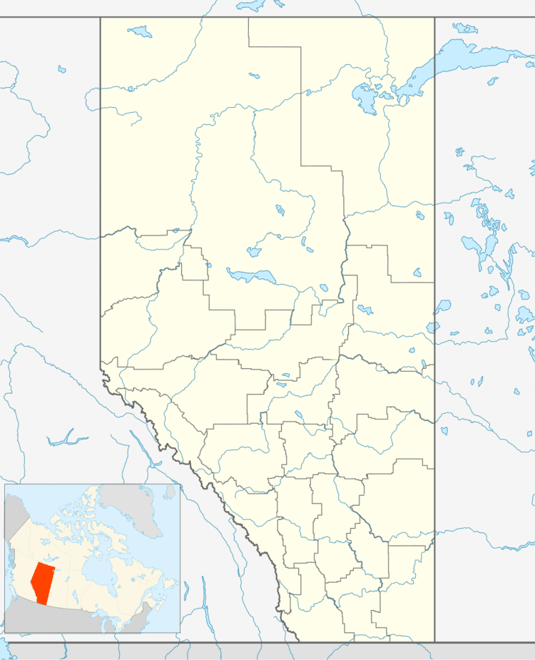
Map of Red Earth Creek, AB, Canada
This hamlet is in census division No. 17 and in the federal riding of Fort McMurray-Athabasca. It is also the administrative centre of the Loon River First Nation reserve.
Snow fall in red earth creek dec 4
Demographics
As a designated place in the 2016 Census of Population conducted by Statistics Canada, Red Earth Creek recorded a population of 294 living in 111 of its 200 total private dwellings, a change of 2998872000000000000♠−12.8% from its 2011 population of 337. With a land area of 38.66 km2 (14.93 sq mi), it had a population density of 7.6/km2 (19.7/sq mi) in 2016.
As a designated place in the 2011 Census, Red Earth Creek had a population of 337 living in 135 of its 214 total dwellings, a 26.2% change from its 2006 population of 267. With a land area of 38.68 km2 (14.93 sq mi), it had a population density of 8.713/km2 (22.57/sq mi) in 2011.
The population of Red Earth Creek according to the M.D. of Opportunity No. 17's 2007 municipal census is 398.