
Country United States of America | ||
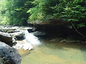 | ||
The Red Bird River is a tributary of the South Fork Kentucky River, located in the Daniel Boone National Forest in extreme southeastern portion of the U.S. state of Kentucky. It is 34.3 miles (55.2 km) long and drains an area of 195.7 square miles (507 km2).
Contents
Map of Red Bird River, Kentucky, USA
Red Bird was the name of a Native American who was murdered near the river.
Course
It rises as Red Bird Creek in northeastern Bell County, then becomes the Red Bird River at the confluence of the Phillips Fork just south of Queendale in Clay County. Continuing north, it forms the boundary between Clay and Leslie counties, eventually coming to a confluence with Goose Creek at Oneida to form the South Fork of the Kentucky River.
References
Red Bird River Wikipedia(Text) CC BY-SA