
Intercommunality Artois Area 10.73 km² Population 1,061 (1999) | Canton Houdain Time zone CET (UTC+1) Local time Sunday 1:01 AM | |
 | ||
Weather 8°C, Wind NE at 19 km/h, 58% Humidity | ||
Rebreuve-Ranchicourt is a commune in the Pas-de-Calais department in the Hauts-de-France region of France.
Contents
Map of 62150 Rebreuve-Ranchicourt, France
Geography
Rebreuve-Ranchicourt is situated about 8 miles (12.9 km) southwest of Béthune and 36 miles (57.9 km) southwest of Lille, at the junction of the D341 (an old Roman road, the Chaussee Brunehaut) and the D57 road. The commune was created in 1971 by the joining of the two villages.
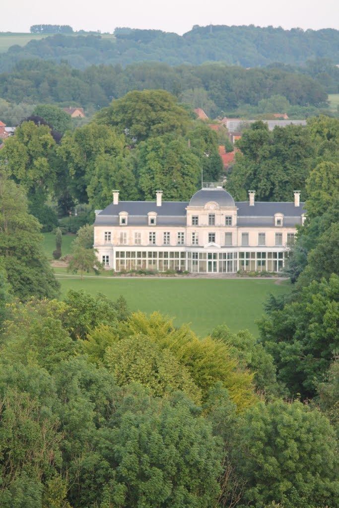
Places of interest
References
Rebreuve-Ranchicourt Wikipedia(Text) CC BY-SA