Alternate name Realtoge Fort Circumference 142 metres (466 ft) | Material earth | |
 | ||
Area 0.158 hectares (0.39 acres) Designation National monuments of Ireland | ||
Realtogue Fort is a ringfort (rath) and National Monument located in County Meath, Ireland.
Contents
Location
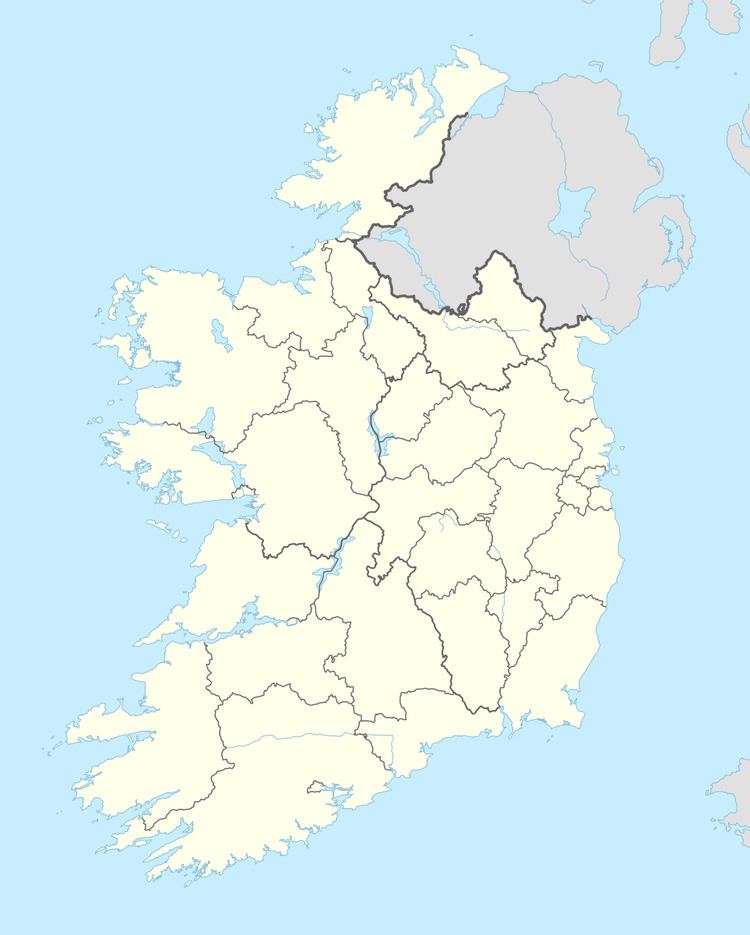
Realtogue ringfort is located about 3.5 km (2 miles) northwest of Kentstown and 1.6 km (1 mile) north of the River Nanny, a Boyne tributary. A holy well (Tobermurry) lies
Description
The ringfort is an oval, measuring 49 metres (161 ft) NW-SE and 41 metres (135 ft) NE-SW, with an external fosse. There is a house site (9 x 5 m) against the inner bank at the east. There is an entrance gap, but no causeway at the southeast.
References
Realtogue Fort Wikipedia(Text) CC BY-SA
