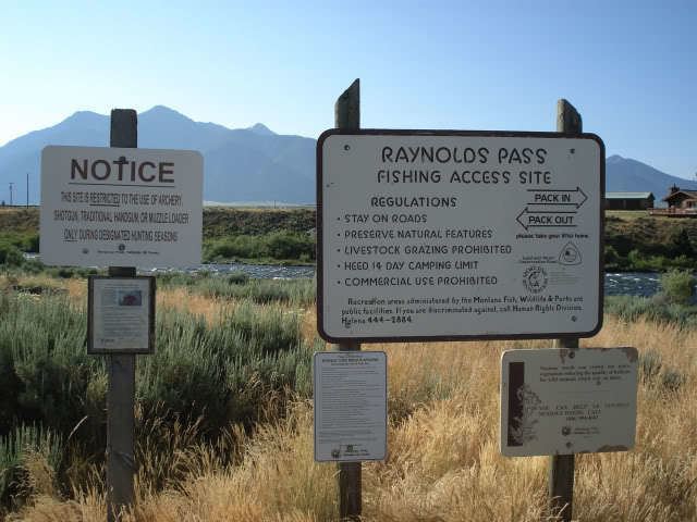
Traversed by SH 87, MT 87 | Elevation 2,086 m | |
 | ||
Similar Monida Pass, Targhee Pass, Bozeman Pass, Homestake Pass, Chief Joseph Pass | ||
Raynolds Pass, elevation 6,844 feet (2,086 m), is a mountain pass on the Montana-Idaho border in the Rocky Mountains, United States. The pass is on the Continental Divide, and is traversed by a state highway (Idaho State Highway 87 and Montana Highway 87). The pass is named for Captain William F. Raynolds, an early explorer and officer-in-charge of the Raynolds Expedition of the Yellowstone region. The pass is very gentle, with only a slight grade and no major hairpin curves to the highways connections with U.S. Route 287 in Montana and U.S. Route 20 in Idaho.
Map of Raynolds Pass, Idaho 83429, USA
References
Raynolds Pass Wikipedia(Text) CC BY-SA
