
Population 726 Sovereign state United Kingdom Local time Saturday 11:38 AM Dialling code 01297 | OS grid reference SY325965 Postcode district EX13 | |
 | ||
Weather 11°C, Wind NE at 27 km/h, 59% Humidity | ||
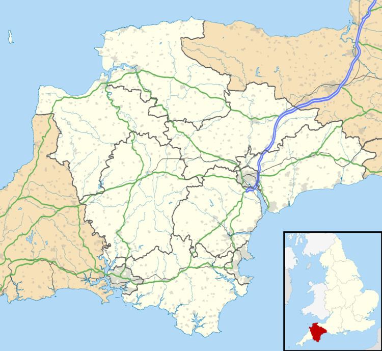
Raymond's Hill is a residential area off the A35 road in Devon, England, right on the border with the county of Dorset. It is about 2 miles (3.2 km) south east of Axminster in East Devon, and about 3 miles (4.8 km) northwest of Charmouth in West Dorset.
Map of Raymond's Hill, Axminster, UK
The housing is of low density and moderate value, and is surrounded by a forest and heathland protected by the District Council.
In 2002 the local MP Hugo Swire presented a 2,225 signature petition to Parliament on behalf of the residents, calling for a roundabout to be constructed at the accident blackspot at the junction of the A35 road and the B3165 at the Hunters Lodge Inn, Raymond's Hill which has claimed many lives.
In 2004 the Highways Agency completed a safety improvement scheme including new signs, red anti-skid surfacing and two traffic islands, though no roundabout has been installed.
In September 2013, two months after a series of car accidents in which two people were killed, local MP Neil Parish held an inquiry into the same blackspot, and vowed to ensure that the Highways Agency improved the junction.